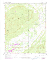
1968 Map of Mc Curtain SW
USGS Topo · Published 1983About this map
The Sans Bois Mountains dominate this landscape where the borders of Haskell, Latimer, and Le Flore counties converge. In the late 1960s, the area's geography was defined by energy extraction and remote rural settlements. The southern portion of the sheet is marked by the Red Oak-Norris Gas Field, with a network of pipelines and gas wells cutting across the terrain. Small communities like Norris and Walls serve as the primary hubs of activity, with the Norris Cem providing a fixed point of genealogical interest for local families. Deep drainages like Brazil Creek and Jefferson Creek carve through the mountain slopes, while an old Jeep Trail provides access to the higher elevations of Sans Bois Mountain. The map also captures the industrial footprint of numerous shale pits and drill holes scattered through the valleys.
Find a feature on this map
29 named features on this map. Tap any name to fly to it.
Don’t see what you’re looking for? This feature index may not catch every label — zoom into the map to look around manually.
Map Details
Editions of this 1968 Mc Curtain SW Map
2 editions found
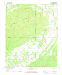
Other maps of this area

1900 · Sansbois
USGS Topo · 1:125,000

1900 · Sallisaw
USGS Topo · 1:125,000

1900 · Winding Stair
USGS Topo · 1:125,000

1901 · Tuskahoma
USGS Topo · 1:125,000

1908 · Tuskahoma
USGS Topo · 1:125,000

1909 · Tuskahoma
USGS Topo · 1:125,000

1909 · Winding Stair
USGS Topo · 1:125,000

1909 · Sans Bois
USGS Topo · 1:125,000

1911 · Sallisaw
USGS Topo · 1:125,000

1911 · Sansbois
USGS Topo · 1:125,000