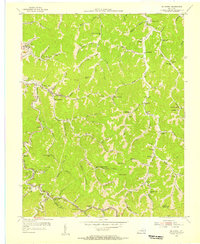
1954 Map of Mc Dowell
USGS Topo · Published 1956About this map
The narrow hollows and steep ridges of Floyd Pike define this 1954 topographic survey, where settlement is tightly bound to the winding creek beds. Along Beaver Creek, the communities of McDowell and East McDowell serve as local hubs, while smaller outposts like Hi Hat and Orkney occupy the valley floors. The industrial character of the era is evidenced by the Chesapeake and Ohio railroad line tracing the southern edge of the map, and a Tipple located near Drift, indicating the region's active coal mining operations.
Find a feature on this map
102 named features on this map. Tap any name to fly to it.
Don’t see what you’re looking for? This feature index may not catch every label — zoom into the map to look around manually.
Map Details
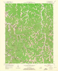
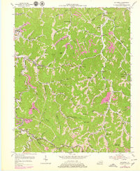
Editions of this 1954 Mc Dowell Map
Other maps of this area

1886 · Prestonsburg
USGS Topo · 1:125,000

1890 · Whitesburg
USGS Topo · 1:125,000

1892 · Whitesburg
USGS Topo · 1:125,000

1892 · Prestonsburg
USGS Topo · 1:125,000

1912 · Hindman
USGS Topo · 1:48,000

1914 · Laynesville
USGS Topo · 1:48,000

1914 · Vergie
USGS Topo · 1:48,000

1915 · Prestonsburg
USGS Topo · 1:62,500

1915 · Hindman
USGS Topo · 1:62,500

1916 · Harold
USGS Topo · 1:62,500