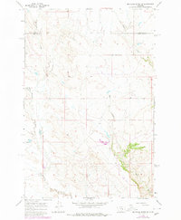
1965 Map of Mc Ginnis Butte SE
USGS Topo · Published 1980About this map
The county line between Garfield Co and Rosebud Co bisects this mid-century landscape in eastern Montana. This remote ranching and grazing country is defined by the drainage patterns of McGinnis Creek and Indian Creek, where the terrain is marked by deep coulees and expansive plains. The presence of a Landing Strip and a Dry Hole reflects the dual economic interests of aviation for rural transport and historical energy exploration in the region.
Find a feature on this map
7 named features on this map. Tap any name to fly to it.
Don’t see what you’re looking for? This feature index may not catch every label — zoom into the map to look around manually.
Map Details
Editions of this 1965 Mc Ginnis Butte SE Map
2 editions found
Other maps of this area

1954 · Forsyth
USGS Topo · 1:250,000

1957 · Forsyth
USGS Topo · 1:250,000

1958 · Forsyth
USGS Topo · 1:250,000

1960 · Hagen Ranch
USGS Topo · 1:24,000

1960 · Yablonski Ranch
USGS Topo · 1:24,000

1960 · Black Sea Reservoir
USGS Topo · 1:24,000

1965 · Hole-In-The-Rock
USGS Topo · 1:24,000
1965 · Emma Butte
USGS Topo · 1:24,000
1965 · Mc Ginnis Butte
USGS Topo · 1:24,000
1965 · Mc Ginnis Butte SE
USGS Topo · 1:24,000