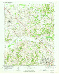
1967 Map of Mc Kenzie
USGS Topo · Published 1969About this map
McKenzie serves as a significant regional anchor on this 1967 survey, where Weakley, Carroll, and Henry Counties converge. The landscape is defined by the Louisville and Nashville railroad, which cuts a straight line through the heart of the region, connecting the larger hub of McKenzie to the smaller settlement of Gleason. This rail corridor supported a network of rural communities, evidenced by the numerous country churches and schools that dot the drainage basins of Tumbling Creek and Spring Creek.
Find a feature on this map
38 named features on this map. Tap any name to fly to it.
Don’t see what you’re looking for? This feature index may not catch every label — zoom into the map to look around manually.
Map Details
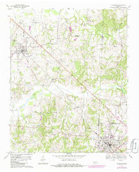
Editions of this 1967 Mc Kenzie Map
2 editions found
Other maps of this area

1950 · Osage
USGS Topo · 1:24,000

1952 · Dresden
USGS Topo · 1:24,000

1955 · Henry
USGS Topo · 1:24,000

1955 · Huntingdon
USGS Topo · 1:24,000

1956 · Dyersburg
USGS Topo · 1:250,000

1957 · Como
USGS Topo · 1:24,000

1966 · Trezevant West
USGS Topo · 1:24,000

1967 · Pillowville
USGS Topo · 1:24,000
1967 · Trezevant East
USGS Topo · 1:24,000
1977 · McKenzie
USGS Topo · 1:62,500