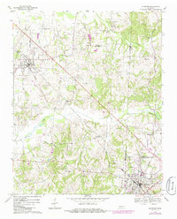
1967 Map of Mc Kenzie
USGS Topo · Published 1986About this map
Mc Kenzie anchors the southeastern corner of this West Tennessee landscape, serving as a significant educational and transportation hub at the intersection of several county lines. The campus of Bethel College is a prominent landmark within the town, alongside local institutions like Webb Sch and the Armory. The region's development is closely tied to the Seaboard line, which cuts a straight diagonal across the terrain toward Gleason. Outside these centers, the land is defined by a dense network of small waterways including Summers Creek, Tumbling Creek, and Spring Creek. Numerous country churches and burial grounds, such as Caledonia Ch and the Tumbling Creek Cem, are scattered throughout the countryside, marking the established rural communities and family homesteads of the late 1960s. The map also records mid-century infrastructure developments like pipelines and a Sewage Disposal site.
Find a feature on this map
39 named features on this map. Tap any name to fly to it.
Don’t see what you’re looking for? This feature index may not catch every label — zoom into the map to look around manually.
Map Details
Editions of this 1967 Mc Kenzie Map
2 editions found
Other maps of this area

1950 · Osage
USGS Topo · 1:24,000

1952 · Dresden
USGS Topo · 1:24,000

1955 · Henry
USGS Topo · 1:24,000

1955 · Huntingdon
USGS Topo · 1:24,000

1956 · Dyersburg
USGS Topo · 1:250,000

1957 · Como
USGS Topo · 1:24,000

1966 · Trezevant West
USGS Topo · 1:24,000

1967 · Pillowville
USGS Topo · 1:24,000
1967 · Trezevant East
USGS Topo · 1:24,000
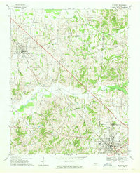
1967 · Mc Kenzie
USGS Topo · 1:24,000