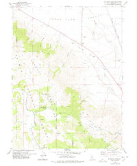
1978 Map of Mc Kesick Peak
USGS Topo · Published 1978About this map
Plumas National Forest and the Diamond Mountains dominate the southern half of this 1978 survey, illustrating a landscape defined by high peaks and timber management during the late 1970s. The presence of the Meadow View Forest Service Station and the nearby Meadow View Campground highlight the area's role in forest administration and recreational access. To the north, the terrain descends into the Honey Lake Valley, where the Western Pacific railroad line follows the natural corridor of Long Valley Creek. This transition from the forested heights of McKesick Peak to the basin floor reveals a clear boundary between wilderness and infrastructure, where numerous Gravel Pits and Borrow Pits suggest ongoing maintenance of the transportation and ranching routes such as the Cannon Field Ranch Road. Local hydrology is marked by seasonal drainages like Bird Canyon and isolated water sources including Hall Cabin Spring.
Find a feature on this map
33 named features on this map. Tap any name to fly to it.
Don’t see what you’re looking for? This feature index may not catch every label — zoom into the map to look around manually.
Map Details
Editions of this 1978 Mc Kesick Peak Map
3 editions found
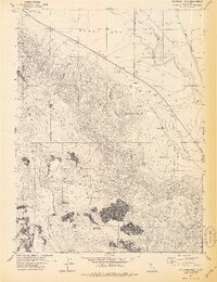
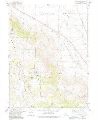
Other maps of this area

1886 · Honey Lake
USGS Topo · 1:250,000

1890 · Sierraville
USGS Topo · 1:125,000

1891 · Honey Lake
USGS Topo · 1:250,000

1892 · Sierraville
USGS Topo · 1:125,000

1893 · Honey Lake
USGS Topo · 1:250,000

1894 · Sierraville
USGS Topo · 1:125,000

1950 · Chilcoot
USGS Topo · 1:62,500

1950 · Portola
USGS Topo · 1:62,500

1950 · Milford
USGS Topo · 1:62,500

1954 · Doyle
USGS Topo · 1:62,500