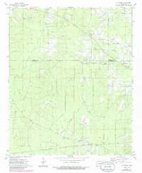
1973 Map of Mc Kinney
USGS Topo · Published 1986About this map
L' Aigle Creek and its many tributaries, including Caney Creek and Irish Bill Creek, carve through the timbered landscape of the Arkansas coastal plain. This 1970s record of the border between Cleveland and Bradley Counties shows a rural area defined by scattered church congregations and family burial grounds. Small communities such as Hollis and Mc Kinney are centered around crossings of historic thoroughfares like the Old Camden Road and Cow Ford Road. Local history is preserved in the locations of Moseley Chapel and Wheeler Springs Ch, alongside geographic markers such as Parnell Springs. While much of the land is dedicated to the timber industry, specialized features like a Gravel Pit and the lowlands of the Ouachita Valley suggest the local economic reliance on the terrain's natural resources.
Find a feature on this map
30 named features on this map. Tap any name to fly to it.
Don’t see what you’re looking for? This feature index may not catch every label — zoom into the map to look around manually.
Map Details
Editions of this 1973 Mc Kinney Map
2 editions found
Other maps of this area

1953 · El Dorado
USGS Topo · 1:250,000

1957 · El Dorado
USGS Topo · 1:250,000

1958 · El Dorado
USGS Topo · 1:250,000

1960 · El Dorado
USGS Topo · 1:250,000

1966 · Kingsland
USGS Topo · 1:24,000

1970 · New Edinburg
USGS Topo · 1:24,000

1970 · Herbine
USGS Topo · 1:24,000
1973 · Warren
USGS Topo · 1:24,000
1973 · Mc Kinney
USGS Topo · 1:24,000
1973 · Farmville
USGS Topo · 1:24,000