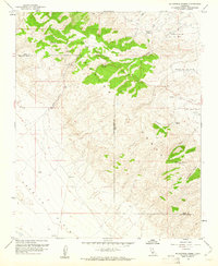
1959 Map of Mc Kittrick Summit
USGS Topo · Published 1961About this map
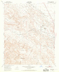
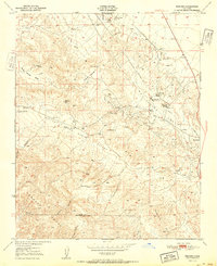
The Temblor Range dominates this late 1950s survey, straddling the high-elevation boundary between Kern and San Luis Obispo counties. This arid landscape is defined by its ranching and petroleum legacy, with the Temblor Ranch and Galainena Ranch established among the winding canyons. To the northeast, the Oil Field and numerous Oil Wells indicate the early industrial footprint of the region near Willow Springs Valley.
Find a feature on this map
17 named features on this map. Tap any name to fly to it.
Don’t see what you’re looking for? This feature index may not catch every label — zoom into the map to look around manually.
Map Details
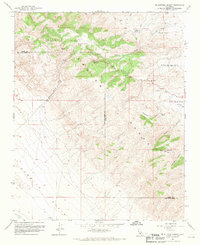
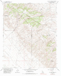
Editions of this 1959 Mc Kittrick Summit Map
3 editions found
Other maps of this area

1912 · McKittrick
USGS Topo · 1:125,000

1941 · Caliente Mountain
USGS Topo · 1:62,500

1942 · Caliente Mtn
USGS Topo · 1:62,500

1943 · Simmler
USGS Topo · 1:62,500
1943 · Belridge
USGS Topo · 1:31,680

1943 · Caliente Mtn.
USGS Topo · 1:62,500

1944 · Panorama Hills
USGS Topo · 1:31,680

1948 · Bakersfield
USGS Topo · 1:250,000
1950 · Reward
USGS Topo · 1:24,000
1951 · Reward
USGS Topo · 1:24,000