
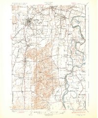
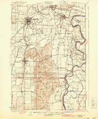
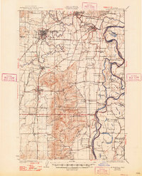
1926 Map of Mc Minnville
USGS Topo · Published 1926About this map
Mc Minnville serves as the focal point of this mid-1920s survey of the Yamhill Valley, where the Yamhill River winds through agricultural prairies and timbered bends. The landscape reflects a well-established rural infrastructure of the era, defined by an exceptional density of country schoolhouses such as Grub College, Webfoot School, and Lone Star School. Transport is dominated by the Southern Pacific and Oregon Electric Road rail lines, which connect small settlements like Whiteson, Dayton, and Amity to the broader Willamette Valley markets. Along the Willamette River, the Wheatland Ferry provides a vital river crossing, while low-lying areas feature the Aquatic Gardens and the fertile alluvial soils of Grand Island and Mission Bottom. The map provides a rare look at the valley before modern highway expansion and river channelization altered the character of these riverside communities.
Find a feature on this map
78 named features on this map. Tap any name to fly to it.
Don’t see what you’re looking for? This feature index may not catch every label — zoom into the map to look around manually.
Map Details
Editions of this 1926 Mc Minnville Map
4 editions found
Other maps of this area

1915 · Rickreall
USGS Topo · 1:31,680

1915 · Eola
USGS Topo · 1:31,680

1916 · Tualatin
USGS Topo · 1:62,500

1917 · Salem
USGS Topo · 1:62,500

1923 · Mount Angel
USGS Topo · 1:62,500

1924 · Mc Minnville
USGS Topo · 1:48,000

1925 · Stayton
USGS Topo · 1:62,500

1939 · Tualatin
USGS Topo · 1:62,500

1940 · McMinnville
USGS Topo · 1:62,500

1940 · Tualatin
USGS Topo · 1:62,500