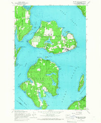
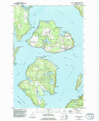
1959 Map of Mc Neil Island
USGS Topo · Published 1966About this map
Mc Neil Island (Federal Penitentiary) dominates the northern half of this Puget Sound survey, showing the complex of reservoirs, pumping stations, and roads like North 15th Avenue that supported the facility. The island is separated from the mainland and neighboring landmasses by narrow waterways such as Pitt Passage and Balch Passage. On the western shore of Mc Neil Island, the McDermott Point Lighthouse (Abandoned) stands as a silent sentinel over the sound.
Find a feature on this map
55 named features on this map. Tap any name to fly to it.
Don’t see what you’re looking for? This feature index may not catch every label — zoom into the map to look around manually.
Map Details
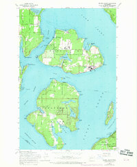
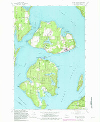
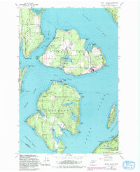
Editions of this 1959 Mc Neil Island Map
5 editions found
Other maps of this area

1937 · Olympia
USGS Topo · 1:62,500

1938 · Allyn
USGS Topo · 1:62,500

1940 · Anderson Island
USGS Topo · 1:62,500

1942 · Gig Harbor
USGS Topo · 1:62,500

1943 · Gig Harbor
USGS Topo · 1:62,500

1948 · Anderson Island
USGS Topo · 1:62,500

1948 · Fort Lewis
USGS Topo · 1:24,000

1948 · Nisqually
USGS Topo · 1:24,000

1948 · Anderson Island
USGS Topo · 1:24,000

1948 · Steilacoom
USGS Topo · 1:24,000