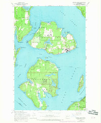
1959 Map of Mc Neil Island
USGS Topo · Published 1969About this map
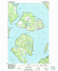
Mc Neil Island (Federal Penitentiary) dominates the upper half of this coastal survey, showing the complex of reservoirs, filtration plants, and pumping stations that supported the institution. This mid-century view documents the internal road network of the prison, including Butterworth Reservoir and Eden Creek Reservoir, alongside the shoreline features of Still Harbor and Gertrude Island. Southward across Balch Passage lies Anderson Island, defined by a more dispersed settlement pattern including Villa Beach and Johnson Landing. The Steilacoom Ferry route provides a vital link across Puget Sound, while the mainland edge to the southeast shows the early footprint of the Fort Lewis Military Reservation. Notable landmarks like the McDermott Point Lighthouse (Abandoned) and family-named points like Mahnckes Point offer specific data points for local maritime and land-use history.
Find a feature on this map
55 named features on this map. Tap any name to fly to it.
Don’t see what you’re looking for? This feature index may not catch every label — zoom into the map to look around manually.
Map Details
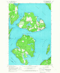
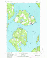
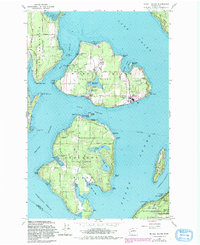
Editions of this 1959 Mc Neil Island Map
5 editions found
Other maps of this area

1937 · Olympia
USGS Topo · 1:62,500

1938 · Allyn
USGS Topo · 1:62,500

1940 · Anderson Island
USGS Topo · 1:62,500

1942 · Gig Harbor
USGS Topo · 1:62,500

1943 · Gig Harbor
USGS Topo · 1:62,500

1948 · Anderson Island
USGS Topo · 1:62,500

1948 · Fort Lewis
USGS Topo · 1:24,000

1948 · Nisqually
USGS Topo · 1:24,000

1948 · Anderson Island
USGS Topo · 1:24,000

1948 · Steilacoom
USGS Topo · 1:24,000