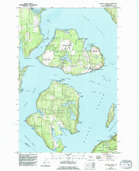
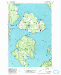
1959 Map of Mc Neil Island
USGS Topo · Published 1994About this map
McNeil Island and Anderson Island dominate this coastal landscape within the Puget Sound, illustrating a unique intersection of carceral history and conservation. The northern half of the sheet is largely defined by the McNeil Island Corrections Center and the surrounding McNeil Island Wildlife Area, while Anderson Island shows a more residential and recreational character with its inland lakes like Florence Lake and Josephine Lake.
Find a feature on this map
86 named features on this map. Tap any name to fly to it.
Don’t see what you’re looking for? This feature index may not catch every label — zoom into the map to look around manually.
Map Details
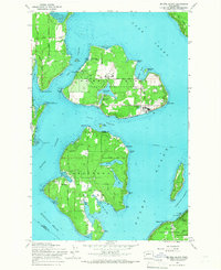
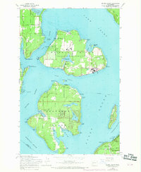
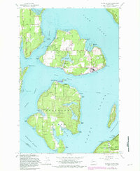
Editions of this 1959 Mc Neil Island Map
5 editions found
Other maps of this area

1937 · Olympia
USGS Topo · 1:62,500

1938 · Allyn
USGS Topo · 1:62,500

1940 · Anderson Island
USGS Topo · 1:62,500

1942 · Gig Harbor
USGS Topo · 1:62,500

1943 · Gig Harbor
USGS Topo · 1:62,500

1948 · Anderson Island
USGS Topo · 1:62,500

1948 · Fort Lewis
USGS Topo · 1:24,000

1948 · Nisqually
USGS Topo · 1:24,000

1948 · Anderson Island
USGS Topo · 1:24,000

1948 · Steilacoom
USGS Topo · 1:24,000