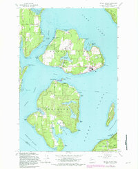
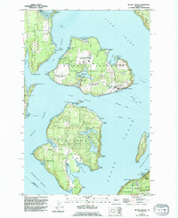
1959 Map of Mc Neil Island
USGS Topo · Published 1981About this map
Mc Neil Island (Federal Prison) dominates this coastal survey, appearing here as a high-security facility surrounded by the waters of Carr Inlet and Balch Passage. The island's internal infrastructure is visible, including its Aqueduct, several reservoirs like Butterworth Reservoir, and the Hillcrest Cem near the northern shore. South of the prison, Anderson Island shows a different character, marked by the small settlement of Villa Beach and numerous inland water bodies such as Florence Lake and Josephine Lake.
Find a feature on this map
69 named features on this map. Tap any name to fly to it.
Don’t see what you’re looking for? This feature index may not catch every label — zoom into the map to look around manually.
Map Details
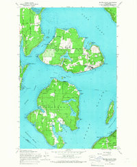
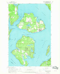
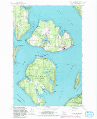
Editions of this 1959 Mc Neil Island Map
5 editions found
Other maps of this area

1937 · Olympia
USGS Topo · 1:62,500

1938 · Allyn
USGS Topo · 1:62,500

1940 · Anderson Island
USGS Topo · 1:62,500

1942 · Gig Harbor
USGS Topo · 1:62,500

1943 · Gig Harbor
USGS Topo · 1:62,500

1948 · Anderson Island
USGS Topo · 1:62,500

1948 · Fort Lewis
USGS Topo · 1:24,000

1948 · Nisqually
USGS Topo · 1:24,000

1948 · Anderson Island
USGS Topo · 1:24,000

1948 · Steilacoom
USGS Topo · 1:24,000