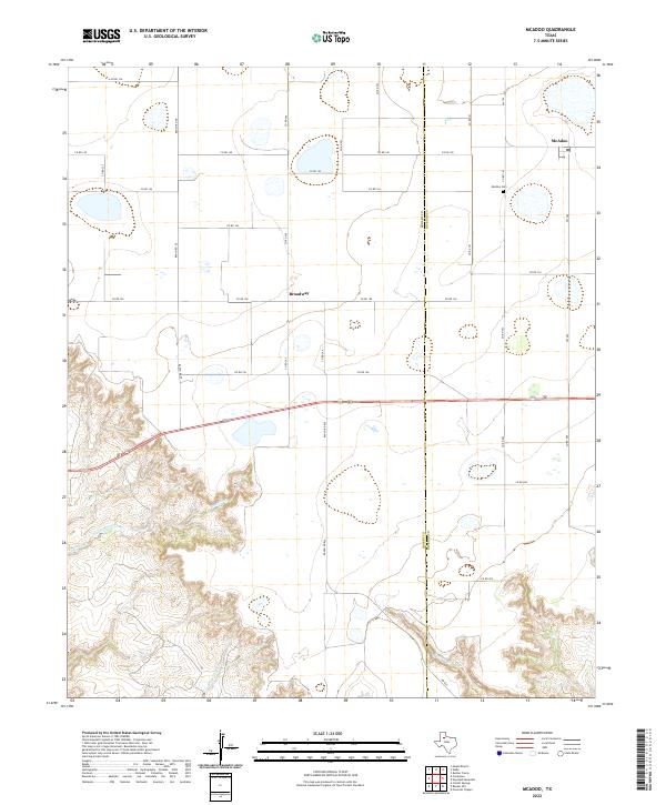
2022 Map of McAdoo
USGS Topo · Published 2022About this map
McAdoo and Broadway anchor this stretch of the West Texas plains where the flat Caprock meets the erosion-carved canyons of the Rolling Plains. The landscape is defined by the sharp transition between the level agricultural fields to the north and the complex drainage networks of Gannon Creek and Grape Creek to the south. This contrast highlights the edge of the Llano Estacado, where the plateau begins to break away into the breaks of the Brazos River watershed.
Find a feature on this map
34 named features on this map. Tap any name to fly to it.
Don’t see what you’re looking for? This feature index may not catch every label — zoom into the map to look around manually.
Map Details
Editions of this 2022 McAdoo Map
This is the sole edition of this map. No revisions or reprints were ever made.
Other maps of this area

1954 · Lubbock
USGS Topo · 1:250,000

1961 · Bunker Hill
USGS Topo · 1:24,000

1965 · Wake
USGS Topo · 1:24,000

1966 · Crosbyton
USGS Topo · 1:24,000

1966 · Mount Blanco
USGS Topo · 1:24,000

1966 · McAdoo
USGS Topo · 1:24,000

1966 · Collett Springs
USGS Topo · 1:24,000

1967 · Haystack Mountain
USGS Topo · 1:24,000

1968 · Foreman Chapel
USGS Topo · 1:24,000

1968 · Rustler Camp
USGS Topo · 1:24,000