
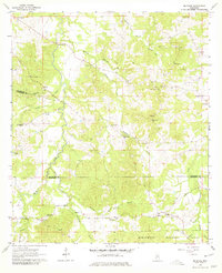
1963 Map of McBride
USGS Topo · Published 1964About this map
Clarks Creek winds through the deeply dissected uplands of southern Mississippi, where the boundaries of Claiborne and Jefferson counties converge. This 1963 field-checked survey reveals a rural landscape dominated by family-named landmarks and country churches that anchored these communities in the mid-20th century. Points of interest like Sarepta Ch, Salem Ch, and St Johns Ch are scattered across the ridges, while the southern portion of the sheet transitions into the protected timberlands of the Homochitto National Forest.
Find a feature on this map
38 named features on this map. Tap any name to fly to it.
Don’t see what you’re looking for? This feature index may not catch every label — zoom into the map to look around manually.
Map Details
Editions of this 1963 McBride Map
2 editions found
Other maps of this area

1953 · Natchez
USGS Topo · 1:250,000

1956 · Natchez
USGS Topo · 1:250,000

1959 · Natchez
USGS Topo · 1:250,000

1963 · Port Gibson
USGS Topo · 1:24,000

1963 · Dentville NW
USGS Topo · 1:24,000

1963 · Red Lick
USGS Topo · 1:24,000

1963 · Union Church
USGS Topo · 1:62,500
1963 · Hermanville
USGS Topo · 1:24,000

1963 · Barlow
USGS Topo · 1:24,000

1972 · Caseyville
USGS Topo · 1:24,000