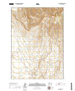
2020 Map of McCain Creek
USGS Topo · Published 2020About this map
McCain Creek winds through this high-desert landscape of southeastern Oregon, defining a drainage system punctuated by numerous reservoirs and springs. The terrain is marked by significant landmarks like Mahogany Mtn and the unique formation known as The Tongue. Historical water management is evident throughout the quadrangle, with multiple catchments such as McCain Reservoir Number One and McCain Reservoir Number Two supporting the arid environment. These water sources, along with Upper McCain Springs and Lower McCain Springs, provided essential anchor points for ranching and land use in this corner of Malheur County. Isolated access routes like Mahogany Rd and Blowout Reservoir Rd traverse the high country, connecting the reservoirs to the broader geographic features like Gunsight Pass and Hon Gulch.
Find a feature on this map
26 named features on this map. Tap any name to fly to it.
Don’t see what you’re looking for? This feature index may not catch every label — zoom into the map to look around manually.
Map Details
Editions of this 2020 McCain Creek Map
This is the sole edition of this map. No revisions or reprints were ever made.
Other maps of this area

1955 · Boise
USGS Topo · 1:250,000

1958 · Boise
USGS Topo · 1:250,000

1962 · Boise
USGS Topo · 1:250,000

1967 · Diamond Butte
USGS Topo · 1:24,000
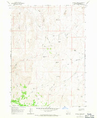
1967 · Bannock Ridge
USGS Topo · 1:24,000

1967 · Rooster Comb
USGS Topo · 1:24,000
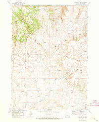
1969 · Mahogany Gap
USGS Topo · 1:24,000

1969 · Jordan Craters South
USGS Topo · 1:24,000

1969 · Mc Cain Creek
USGS Topo · 1:24,000

1969 · Jordan Craters North
USGS Topo · 1:24,000