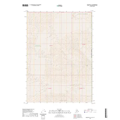
2023 Map of McCarthy A-1 SE
USGS Topo · Published 2023About this map
The Saint Elias Mountains dominate this high-altitude Alaskan landscape, where steep elevation gradients and complex terrain define the wilderness. This survey details the intersection of the Wrangell-Saint Elias National Park and the protected Wrangell-St. Elias Wilderness, capturing a portion of the Copper River Census Area at the eastern edge of the state. The topography is marked by significant peaks such as Mt George and the northern reaches of the Centennial Range.
Find a feature on this map
12 named features on this map. Tap any name to fly to it.
Don’t see what you’re looking for? This feature index may not catch every label — zoom into the map to look around manually.
Map Details
Editions of this 2023 McCarthy A-1 SE Map
This is the sole edition of this map. No revisions or reprints were ever made.
Other maps of this area

1950 · Bering Glacier
USGS Topo · 1:250,000

1951 · McCarthy
USGS Topo · 1:250,000

1951 · Bering Glacier
USGS Topo · 1:250,000

1951 · Mt Saint Elias
USGS Topo · 1:250,000
1959 · McCarthy A-1
USGS Topo · 1:63,360

1959 · Bering Glacier
USGS Topo · 1:250,000

1959 · Mt Saint Elias
USGS Topo · 1:250,000

1960 · McCarthy
USGS Topo · 1:250,000
1984 · Bering Glacier D-1
USGS Topo · 1:63,360
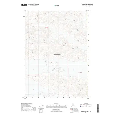
2017 · Bering Glacier D-1 NE
USGS Topo · 1:25,000