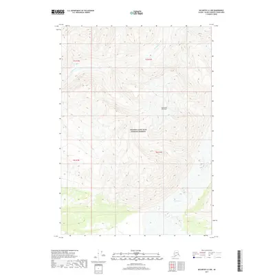
2017 Map of McCarthy A-3 NW
USGS Topo · Published 2017About this map
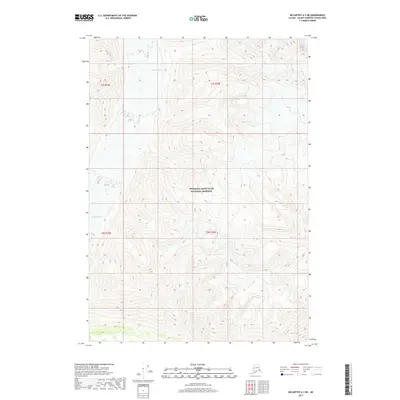
Wrangell-Saint Elias National Preserve encompasses the majority of this landscape, dominated by the massive vertical relief of the Saint Elias Mountains. The terrain is defined by high-elevation glacial activity and steep drainage patterns, with Hawkins Glacier visible in the southeastern portion of the quadrangle. Meltwater from the surrounding peaks feeds into Erickson Creek, which cuts through the northern sections of the preserve. This 2017 survey reflects a largely undeveloped wilderness within the Unorganized Borough, where the land is governed more by ice and rock than by human settlement. The topographic detail captures the complex contours of the glacial moraine and the sharp ridgelines that characterize this portion of the Alaska-Yukon border region.
Find a feature on this map
9 named features on this map. Tap any name to fly to it.
Don’t see what you’re looking for? This feature index may not catch every label — zoom into the map to look around manually.
Map Details
Editions of this 2017 McCarthy A-3 NW Map
This is the sole edition of this map. No revisions or reprints were ever made.
Other maps of this area

1951 · McCarthy
USGS Topo · 1:250,000

1959 · McCarthy A-4
USGS Topo · 1:63,360

1959 · McCarthy B-4
USGS Topo · 1:63,360

1959 · McCarthy A-3
USGS Topo · 1:63,360

1959 · McCarthy B-3
USGS Topo · 1:63,360

1960 · McCarthy
USGS Topo · 1:250,000
1994 · McCarthy A-4
USGS Topo · 1:63,360
1994 · McCarthy B-4
USGS Topo · 1:63,360
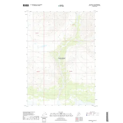
2017 · McCarthy A-4 NE
USGS Topo · 1:25,000
2017 · McCarthy A-3 NE
USGS Topo · 1:25,000