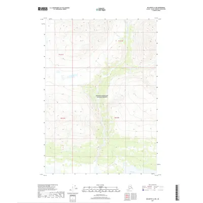
2017 Map of McCarthy A-4 NE
USGS Topo · Published 2017About this map
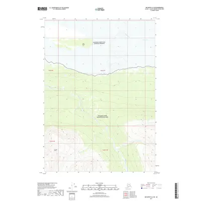
Wrangell-Saint Elias National Preserve encompasses the central portion of this 2017 survey, where high-altitude drainages define the glaciated terrain. The southern boundary of the map follows the wide valley of the Chitina River, a major glacial waterway fed by a network of smaller mountain streams. These include Canyon Creek, which cuts through the center of the preserve, and Young Cr along the western edge. In the northern reaches, Cave Cr and Erickson Creek reveal the complex hydrology of the mountain slopes.
Find a feature on this map
12 named features on this map. Tap any name to fly to it.
Don’t see what you’re looking for? This feature index may not catch every label — zoom into the map to look around manually.
Map Details
Editions of this 2017 McCarthy A-4 NE Map
This is the sole edition of this map. No revisions or reprints were ever made.
Other maps of this area

1951 · McCarthy
USGS Topo · 1:250,000

1959 · McCarthy A-4
USGS Topo · 1:63,360

1959 · McCarthy B-4
USGS Topo · 1:63,360

1959 · McCarthy A-3
USGS Topo · 1:63,360

1959 · McCarthy B-3
USGS Topo · 1:63,360

1960 · McCarthy
USGS Topo · 1:250,000
1994 · McCarthy A-4
USGS Topo · 1:63,360
1994 · McCarthy B-4
USGS Topo · 1:63,360
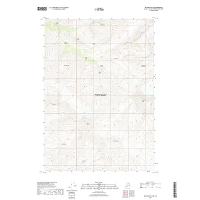
2017 · McCarthy B-4 SW
USGS Topo · 1:25,000
2017 · McCarthy A-4 SW
USGS Topo · 1:25,000