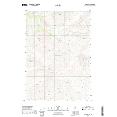
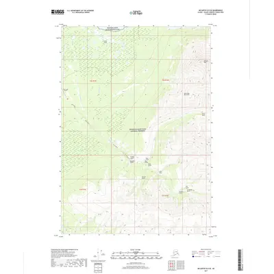
2017 Map of McCarthy B-4 SW
USGS Topo · Published 2017About this map
Wrangell-Saint Elias National Preserve encompasses the high-altitude terrain of the Saint Elias Mountains in this section of the Alaska interior. The landscape is defined by its dramatic relief, where deep incisions like Calamity Gulch, Nikolai Gulch, and Seattle Gulch channel water from the surrounding massifs. Dominant peaks including Joshua Green Peak and Andrus Peak tower over the drainage systems of Texas Cr, Rex Cr, and Copper Cr. This area demonstrates the complex geological and hydrological patterns of the northern wilderness, with numerous named gulches and passes such as Hancock Pass serving as primary landmarks for navigation through the mountainous terrain. The map provides a precise account of these natural features, from the prominence of Pyramid Peak to the smaller catchments like Idaho Gulch and Rader Gulch.
Find a feature on this map
24 named features on this map. Tap any name to fly to it.
Don’t see what you’re looking for? This feature index may not catch every label — zoom into the map to look around manually.
Map Details
Editions of this 2017 McCarthy B-4 SW Map
This is the sole edition of this map. No revisions or reprints were ever made.
Other maps of this area

1951 · McCarthy
USGS Topo · 1:250,000

1959 · McCarthy A-4
USGS Topo · 1:63,360

1959 · McCarthy B-5
USGS Topo · 1:63,360

1959 · McCarthy B-4
USGS Topo · 1:63,360

1959 · McCarthy A-5
USGS Topo · 1:63,360

1960 · McCarthy
USGS Topo · 1:250,000
1994 · McCarthy A-4
USGS Topo · 1:63,360
1994 · McCarthy A-5
USGS Topo · 1:63,360
1994 · McCarthy B-4
USGS Topo · 1:63,360
2017 · McCarthy B-5 SE
USGS Topo · 1:25,000