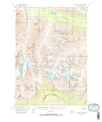
1950 Map of McCarthy A-8
USGS Topo · Published 1967About this map
The Hanagita River flows through a high-altitude landscape defined by glacial activity and steep drainages in this 1950s-era topographical study. A lone Cabin situated near Hanagita Lake represents the only indicated structure in the entire quadrangle, suggesting a region utilized primarily for seasonal trapping or prospecting rather than permanent settlement. The southern portion of the map is dominated by the North Fork Bremner River, which carves through Twelvemile Canyon, a feature highlighting the intense erosion and hydraulic power of the glacial meltwater systems.
Find a feature on this map
19 named features on this map. Tap any name to fly to it.
Don’t see what you’re looking for? This feature index may not catch every label — zoom into the map to look around manually.
Map Details
Editions of this 1950 McCarthy A-8 Map
3 editions found
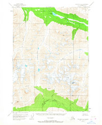
Other maps of this area

1948 · Cordova
USGS Topo · 1:250,000

1950 · McCarthy A-8
USGS Topo · 1:63,360

1950 · Bering Glacier
USGS Topo · 1:250,000

1951 · McCarthy
USGS Topo · 1:250,000

1951 · Bering Glacier
USGS Topo · 1:250,000

1951 · Cordova
USGS Topo · 1:250,000

1951 · Valdez B-1
USGS Topo · 1:63,360

1951 · Valdez A-1
USGS Topo · 1:63,360

1951 · McCarthy B-8
USGS Topo · 1:63,360

1952 · Valdez
USGS Topo · 1:250,000