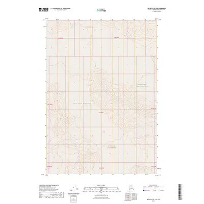
2023 Map of McCarthy B-1 NW
USGS Topo · Published 2023About this map
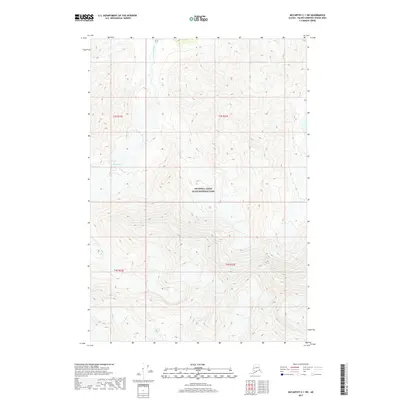
The Saint Elias Mountains dominate this high-altitude landscape in eastern Alaska, where the vast ice of the Klutlan Glacier flows through the central terrain. This 2023 survey documents the glacial topography and immense relief within the Wrangell-Saint Elias National Park and the preserved Wrangell-St. Elias Wilderness. The map reveals the intricate network of ridgelines and drainage patterns that define this section of the Copper River Census Area, illustrating how the ice mass interacts with the surrounding peaks. Without any roads or human settlements indicated, the map focuses on the raw natural boundaries of the Public Land Survey System, including sections of t5s r23e and t5s r22e, providing a precise look at the glaciated interior of one of North America's most formidable mountain ranges.
Find a feature on this map
12 named features on this map. Tap any name to fly to it.
Don’t see what you’re looking for? This feature index may not catch every label — zoom into the map to look around manually.
Map Details
Editions of this 2023 McCarthy B-1 NW Map
This is the sole edition of this map. No revisions or reprints were ever made.
Other maps of this area

1951 · McCarthy
USGS Topo · 1:250,000

1959 · McCarthy C-1
USGS Topo · 1:63,360

1959 · McCarthy B-2
USGS Topo · 1:63,360

1959 · McCarthy B-1
USGS Topo · 1:63,360

1959 · McCarthy C-2
USGS Topo · 1:63,360

1960 · McCarthy
USGS Topo · 1:250,000
2017 · McCarthy C-1 SE
USGS Topo · 1:25,000
2017 · McCarthy B-1 NE
USGS Topo · 1:25,000
2017 · McCarthy B-1 NW
USGS Topo · 1:25,000
2017 · McCarthy C-1 SW
USGS Topo · 1:25,000