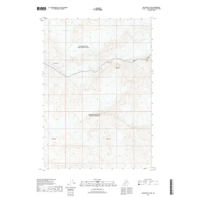
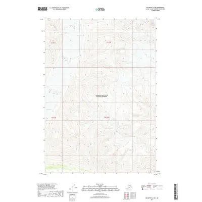
2017 Map of McCarthy B-3 SW
USGS Topo · Published 2017About this map
The Saint Elias Mountains dominate this high-altitude landscape in the Unorganized Borough, where extreme topography dictates the boundary between protected wilderness areas. The map reveals a transition between the Wrangell-Saint Elias National Park to the north and the Wrangell-Saint Elias National Preserve to the south. This distinction is significant for land use and resource management within the largest national park system in the United States. Glacial activity is the primary architect of the terrain here, most notably seen in the massive Twaharpies Glacier which flows through the northern reaches. High-relief summits such as Celeno Peak, Ocypete Peak, and the jagged spires known as The Twaharpies stand as permanent landmarks above the moving ice. The survey provides precise contour data for these remote peaks, illustrating the complex drainage patterns and ice fields that remain largely untouched by permanent human settlement.
Find a feature on this map
11 named features on this map. Tap any name to fly to it.
Don’t see what you’re looking for? This feature index may not catch every label — zoom into the map to look around manually.
Map Details
Editions of this 2017 McCarthy B-3 SW Map
This is the sole edition of this map. No revisions or reprints were ever made.
Other maps of this area

1951 · McCarthy
USGS Topo · 1:250,000

1959 · McCarthy A-4
USGS Topo · 1:63,360

1959 · McCarthy B-4
USGS Topo · 1:63,360

1959 · McCarthy A-3
USGS Topo · 1:63,360

1959 · McCarthy B-3
USGS Topo · 1:63,360

1960 · McCarthy
USGS Topo · 1:250,000
1994 · McCarthy A-4
USGS Topo · 1:63,360
1994 · McCarthy B-4
USGS Topo · 1:63,360
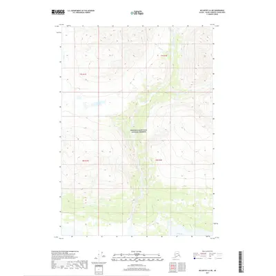
2017 · McCarthy A-4 NE
USGS Topo · 1:25,000
2017 · McCarthy A-3 NE
USGS Topo · 1:25,000