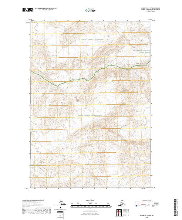
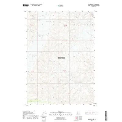
2023 Map of McCarthy B-3 SW
USGS Topo · Published 2023About this map
The Saint Elias Mountains dominate this high-altitude landscape in the Copper River Census Area, where the University Range creates a series of formidable crests. This 2023 survey delineates the complex administrative intersections of the Wrangell-Saint Elias National Park, the adjacent Wrangell-Saint Elias National Preserve, and the protected Wrangell-St. Elias Wilderness. Unlike earlier maps of the region, this edition provides precise modern topography for the jagged ridgeline known as The Twaharpies. High summits including Ocypete Peak and Celeno Peak are detailed with 120-foot contour intervals, illustrating the extreme verticality of the interior wilderness. The map is a vital record of the public land survey system in this remote terrain, showing the boundary lines for t6s r18e and t7s r19e where they overlay the national park system.
Find a feature on this map
12 named features on this map. Tap any name to fly to it.
Don’t see what you’re looking for? This feature index may not catch every label — zoom into the map to look around manually.
Map Details
Editions of this 2023 McCarthy B-3 SW Map
This is the sole edition of this map. No revisions or reprints were ever made.
Other maps of this area

1951 · McCarthy
USGS Topo · 1:250,000

1959 · McCarthy A-4
USGS Topo · 1:63,360

1959 · McCarthy B-4
USGS Topo · 1:63,360

1959 · McCarthy A-3
USGS Topo · 1:63,360

1959 · McCarthy B-3
USGS Topo · 1:63,360

1960 · McCarthy
USGS Topo · 1:250,000
1994 · McCarthy A-4
USGS Topo · 1:63,360
1994 · McCarthy B-4
USGS Topo · 1:63,360
2017 · McCarthy A-4 NE
USGS Topo · 1:25,000
2017 · McCarthy A-3 NE
USGS Topo · 1:25,000