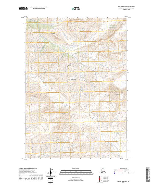
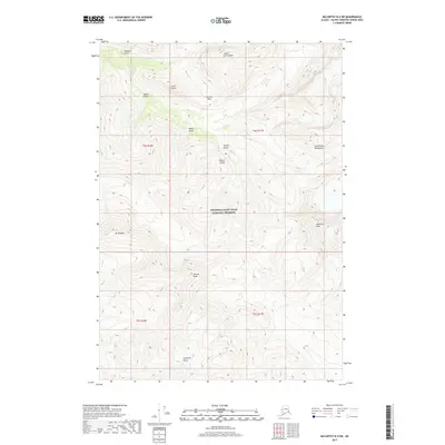
2023 Map of McCarthy B-4 SW
USGS Topo · Published 2023About this map
The Saint Elias Mountains dominate this high-elevation Alaskan landscape, where the protected terrain of the Wrangell-Saint Elias National Preserve meets the dedicated Wrangell-St. Elias Wilderness. The topography is defined by sharp peaks and steep drainages, including the prominent Mt Holmes and Pyramid Peak which overlook a complex network of gulches and creeks. Glacial activity has carved the region's character, visible in the sprawling Rex Glacier and the high Hancock Pass. Waterways like Dan Creek and Copper Creek cut through the steep-walled canyons of Nikolai Gulch and Calamity Gulch, illustrating the powerful erosive forces at work in this wilderness. This survey captures a pristine mountain environment, showing the relationship between named summits like Andrus Peak and the drainage basins that flow from their slopes.
Find a feature on this map
27 named features on this map. Tap any name to fly to it.
Don’t see what you’re looking for? This feature index may not catch every label — zoom into the map to look around manually.
Map Details
Editions of this 2023 McCarthy B-4 SW Map
This is the sole edition of this map. No revisions or reprints were ever made.
Other maps of this area

1951 · McCarthy
USGS Topo · 1:250,000

1959 · McCarthy A-4
USGS Topo · 1:63,360

1959 · McCarthy B-5
USGS Topo · 1:63,360

1959 · McCarthy B-4
USGS Topo · 1:63,360

1959 · McCarthy A-5
USGS Topo · 1:63,360

1960 · McCarthy
USGS Topo · 1:250,000
1994 · McCarthy A-4
USGS Topo · 1:63,360
1994 · McCarthy A-5
USGS Topo · 1:63,360
1994 · McCarthy B-4
USGS Topo · 1:63,360
2017 · McCarthy B-4 SW
USGS Topo · 1:25,000