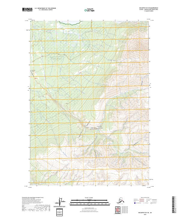
2023 Map of McCarthy B-5 SE
USGS Topo · Published 2023About this map
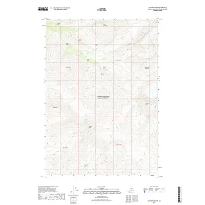
Wrangell-Saint Elias National Preserve encompasses most of this landscape in the Copper River Census Area, illustrating the transition from forested creek bottoms to the high alpine reaches of the Saint Elias Mountains. The topographical survey highlights a complex drainage system where Chititu Creek and May Creek flow through valleys defined by numerous named gulches, such as Bear Gulch and Grubstake Gulch. The remote character of the region is underscored by the presence of the May Creek Airport and the primitive Chititu Route Tri, which represent the primary means of access to this backcountry. To the northeast, the terrain rises sharply toward Williams Peak, while the southern reaches are marked by the winding path of Young Creek and the deep incisions of Virginia Gulch.
Find a feature on this map
28 named features on this map. Tap any name to fly to it.
Don’t see what you’re looking for? This feature index may not catch every label — zoom into the map to look around manually.
Map Details
Editions of this 2023 McCarthy B-5 SE Map
This is the sole edition of this map. No revisions or reprints were ever made.
Other maps of this area

1951 · McCarthy
USGS Topo · 1:250,000

1959 · McCarthy A-4
USGS Topo · 1:63,360

1959 · McCarthy B-5
USGS Topo · 1:63,360

1959 · McCarthy B-4
USGS Topo · 1:63,360

1959 · McCarthy A-5
USGS Topo · 1:63,360

1960 · McCarthy
USGS Topo · 1:250,000
1994 · McCarthy A-4
USGS Topo · 1:63,360
1994 · McCarthy A-5
USGS Topo · 1:63,360
1994 · McCarthy B-4
USGS Topo · 1:63,360
2017 · McCarthy B-4 SW
USGS Topo · 1:25,000