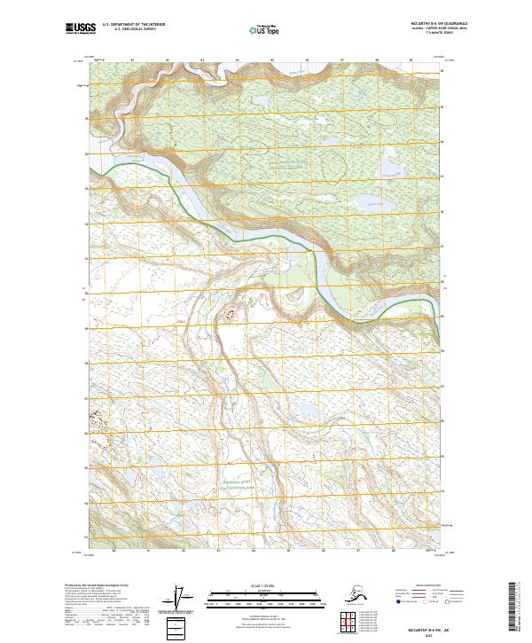
2023 Map of McCarthy B-6 SW
USGS Topo · Published 2023About this map
The Chitina River serves as the central artery for this remote portion of Alaska, where three distinct administrative designations meet. The braided river system flows through a landscape defined by the convergence of the Wrangell-St. Elias Wilderness, the Wrangell-Saint Elias National Preserve, and the Wrangell-Saint Elias National Park. In the northern portion of the sheet, the Nizina River feeds into the primary drainage, while the southern reaches are marked by the winding course of the Chakina River. Away from the main riverbanks, the terrain is dotted with isolated water bodies such as Camel Lake and Wheat Lake, which stand in contrast to the dynamic alluvial plains of the glacial rivers. This map documents a region largely devoid of permanent human settlement, focusing instead on the complex hydrography and federally protected lands in the early 21st century.
Find a feature on this map
12 named features on this map. Tap any name to fly to it.
Don’t see what you’re looking for? This feature index may not catch every label — zoom into the map to look around manually.
Map Details
Editions of this 2023 McCarthy B-6 SW Map
This is the sole edition of this map. No revisions or reprints were ever made.
Other maps of this area

1951 · McCarthy
USGS Topo · 1:250,000

1959 · McCarthy B-6
USGS Topo · 1:63,360

1959 · McCarthy A-6
USGS Topo · 1:63,360

1959 · McCarthy A-7
USGS Topo · 1:63,360

1959 · McCarthy B-7
USGS Topo · 1:63,360

1960 · McCarthy
USGS Topo · 1:250,000

1994 · McCarthy A-6
USGS Topo · 1:63,360
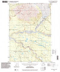
1994 · McCarthy B-6
USGS Topo · 1:63,360
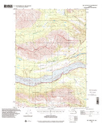
1995 · McCarthy B-7
USGS Topo · 1:63,360
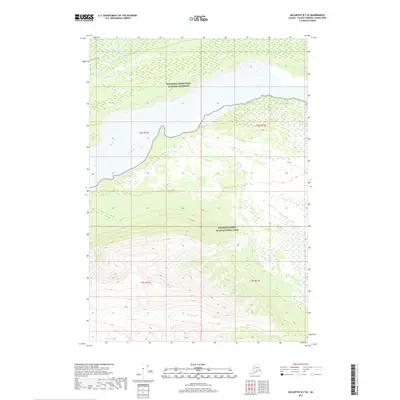
2017 · McCarthy B-7 SE
USGS Topo · 1:25,000