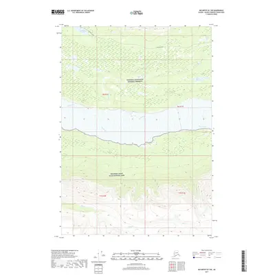
2017 Map of McCarthy B-7 SW
USGS Topo · Published 2017About this map
The Chitina River flows broadly across the center of this terrain, serving as a geographic divide between the Wrangell-Saint Elias National Preserve to the north and the Wrangell-Saint Elias National Park to the south. North of the river, the McCarthy Road provides a rare corridor of accessibility through the wilderness, passing near Moose Lake and Crystal Cr. This landscape is defined by its dramatic drainage systems, where the Lakina River descends from Lakina Lake to join the main river valley. To the south, the topography rises sharply toward the interior of the park, drained by Skull Cr. The map captures the specialized jurisdictional boundaries and natural water features of this section of the Unorganized Borough, including smaller bodies like Ruth Lake, which sit isolated amidst the complex network of glacial and mountain runoff.
Find a feature on this map
14 named features on this map. Tap any name to fly to it.
Don’t see what you’re looking for? This feature index may not catch every label — zoom into the map to look around manually.
Map Details
Editions of this 2017 McCarthy B-7 SW Map
This is the sole edition of this map. No revisions or reprints were ever made.
Other maps of this area

1950 · McCarthy A-8
USGS Topo · 1:63,360

1951 · McCarthy
USGS Topo · 1:250,000

1951 · McCarthy B-8
USGS Topo · 1:63,360

1959 · McCarthy A-7
USGS Topo · 1:63,360

1959 · McCarthy B-7
USGS Topo · 1:63,360

1960 · McCarthy
USGS Topo · 1:250,000
1995 · McCarthy B-7
USGS Topo · 1:63,360

1995 · McCarthy B-8
USGS Topo · 1:63,360
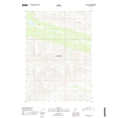
2017 · McCarthy A-8 NE
USGS Topo · 1:25,000
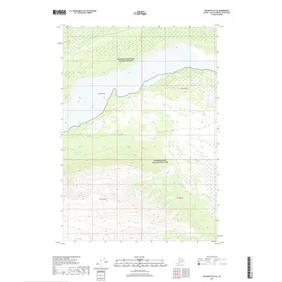
2017 · McCarthy B-7 SE
USGS Topo · 1:25,000