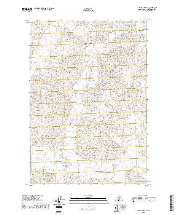
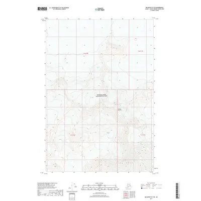
2023 Map of McCarthy C-7 NW
USGS Topo · Published 2023About this map
Mt Blackburn dominates the northeastern corner of this map, standing as a massive anchor within the Wrangell Mountains. This high-altitude landscape is defined by its massive ice features, specifically the Kuskulana Glacier and the Nabesna Glacier, which carve through the high peaks. The region is almost entirely contained within protected lands, spanning the Wrangell-Saint Elias National Park and the designated Wrangell-St. Elias Wilderness. The cartography reveals a wilderness of significant vertical relief where permanent ice and rock fields dictate the terrain. There are no roads or permanent settlements depicted, reflecting the primitive state of this interior section of the park during the early twenty-first century.
Find a feature on this map
12 named features on this map. Tap any name to fly to it.
Don’t see what you’re looking for? This feature index may not catch every label — zoom into the map to look around manually.
Map Details
Editions of this 2023 McCarthy C-7 NW Map
This is the sole edition of this map. No revisions or reprints were ever made.
Other maps of this area

1951 · McCarthy
USGS Topo · 1:250,000

1951 · McCarthy C-8
USGS Topo · 1:63,360

1959 · McCarthy D-7
USGS Topo · 1:63,360

1959 · McCarthy C-7
USGS Topo · 1:63,360

1960 · McCarthy D-8
USGS Topo · 1:63,360

1960 · McCarthy
USGS Topo · 1:250,000
1995 · McCarthy C-7
USGS Topo · 1:63,360
1995 · McCarthy C-8
USGS Topo · 1:63,360
2017 · McCarthy C-8 NE
USGS Topo · 1:25,000
2017 · McCarthy D-7 SW
USGS Topo · 1:25,000