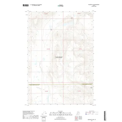
2017 Map of McCarthy D-2 NW
USGS Topo · Published 2017About this map
Wrangell-Saint Elias National Preserve encompasses the majority of this high-latitude terrain, where the headwaters and drainage systems of the North Fork White River meet the boundary between the Southeast Fairbanks and Valdez-Cordova Census Areas. The landscape is defined by its dramatic relief, transitioning from the broad, marshy expanse of Flat Creek Flats and the course of Flat Creek in the north to the formidable heights near Fogenbera Pass in the southeast. Black Hill stands as a prominent landmark in the northern reaches, overlooking a network of alpine basins and seasonal wetlands. This 2017 survey provides an exacting look at the hydrological patterns and topographic contours of a region where the natural environment remains the primary architect of the land, largely undisturbed by permanent settlements or modern road networks.
Find a feature on this map
13 named features on this map. Tap any name to fly to it.
Don’t see what you’re looking for? This feature index may not catch every label — zoom into the map to look around manually.
Map Details
Editions of this 2017 McCarthy D-2 NW Map
This is the sole edition of this map. No revisions or reprints were ever made.
Other maps of this area

1950 · Nabesna
USGS Topo · 1:250,000

1951 · McCarthy
USGS Topo · 1:250,000

1951 · Nabesna
USGS Topo · 1:250,000

1959 · McCarthy D-3
USGS Topo · 1:63,360

1959 · McCarthy D-2
USGS Topo · 1:63,360

1960 · Nabesna A-2
USGS Topo · 1:63,360

1960 · Nabesna
USGS Topo · 1:250,000

1960 · McCarthy
USGS Topo · 1:250,000
2016 · Nabesna A-2 SE
USGS Topo · 1:25,000
2016 · Nabesna A-2 SW
USGS Topo · 1:25,000