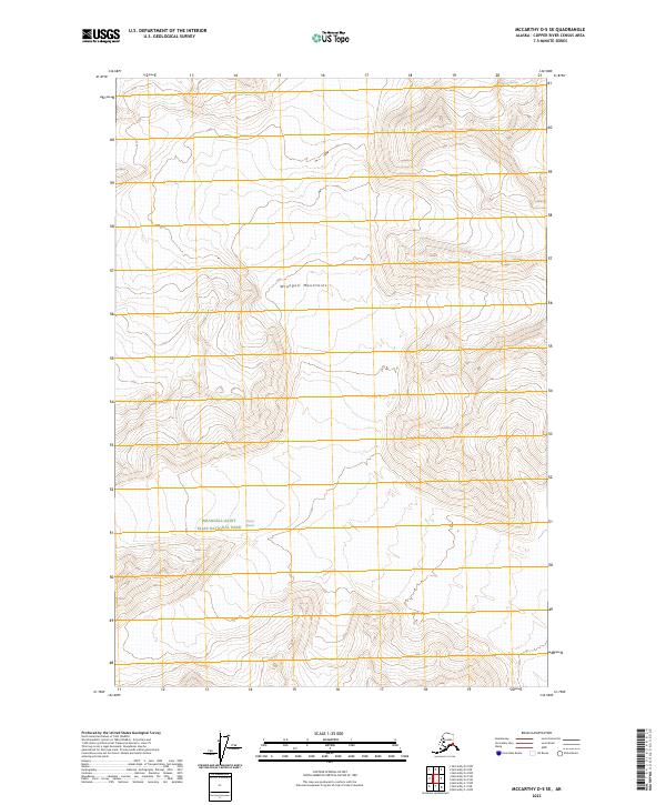
2023 Map of McCarthy D-5 SE
USGS Topo · Published 2023About this map
The Wrangell Mountains dominate this high-altitude Alaskan landscape, where the shifting ice of the Chisana Glacier and Nizina Glacier continues to shape the terrain. This map documents a protected wilderness core within the Wrangell-Saint Elias National Park, showcasing a region defined by its lack of human infrastructure and the persistence of glacial activity. The boundary of the Wrangell-St. Elias Wilderness crosses the sheet, marking a transition between parkland and strictly protected wild zones. Researchers studying geological change or the management of public lands can trace the elevation contours that define the high ridges and glacial basins of the Copper River Census Area at the start of the 2020s.
Find a feature on this map
9 named features on this map. Tap any name to fly to it.
Don’t see what you’re looking for? This feature index may not catch every label — zoom into the map to look around manually.
Map Details
Editions of this 2023 McCarthy D-5 SE Map
This is the sole edition of this map. No revisions or reprints were ever made.
Other maps of this area

1951 · McCarthy
USGS Topo · 1:250,000

1959 · McCarthy C-5
USGS Topo · 1:63,360

1959 · McCarthy C-4
USGS Topo · 1:63,360
1960 · McCarthy D-5
USGS Topo · 1:63,360

1960 · McCarthy D-4
USGS Topo · 1:63,360

1960 · McCarthy
USGS Topo · 1:250,000
1993 · McCarthy C-4
USGS Topo · 1:63,360
1993 · McCarthy C-5
USGS Topo · 1:63,360
2017 · McCarthy D-4 NW
USGS Topo · 1:25,000
2017 · McCarthy D-5 NE
USGS Topo · 1:25,000