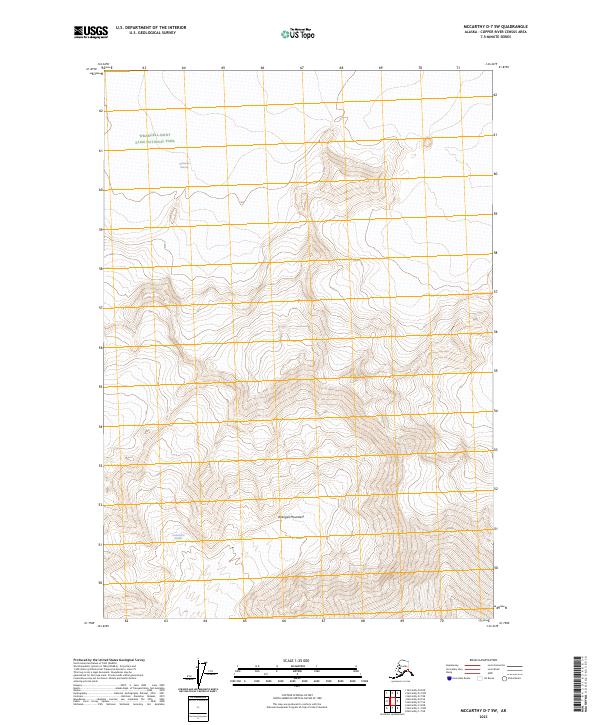
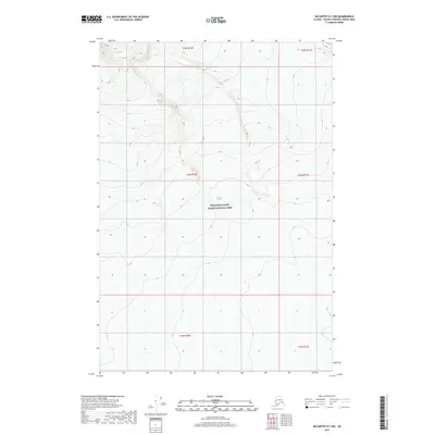
2023 Map of McCarthy D-7 SW
USGS Topo · Published 2023About this map
The Wrangell Mountains dominate this high-altitude landscape, providing a specialized look at the glaciology and protected lands within the Wrangell-Saint Elias National Park. The survey illustrates the massive footprint of the Nabesna Glacier in the north and the Kuskulana Glacier in the southwest, mapping the ice-carved topography that defines this interior Alaskan wilderness. As part of the Wrangell-St. Elias Wilderness, the area remains devoid of modern development, focusing entirely on the natural boundary lines and extreme elevation changes of one of the largest protected areas in the United States. Researchers can study the subtle contour shifts and drainage patterns that emerge from these permanent ice fields.
Find a feature on this map
9 named features on this map. Tap any name to fly to it.
Don’t see what you’re looking for? This feature index may not catch every label — zoom into the map to look around manually.
Map Details
Editions of this 2023 McCarthy D-7 SW Map
This is the sole edition of this map. No revisions or reprints were ever made.
Other maps of this area

1951 · McCarthy
USGS Topo · 1:250,000

1951 · McCarthy C-8
USGS Topo · 1:63,360

1959 · McCarthy D-7
USGS Topo · 1:63,360

1959 · McCarthy C-7
USGS Topo · 1:63,360

1960 · McCarthy D-8
USGS Topo · 1:63,360

1960 · McCarthy
USGS Topo · 1:250,000
1995 · McCarthy C-7
USGS Topo · 1:63,360
1995 · McCarthy C-8
USGS Topo · 1:63,360
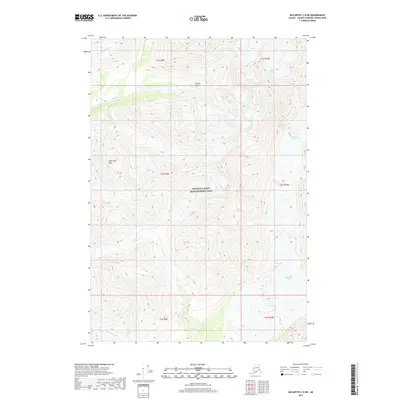
2017 · McCarthy C-8 NE
USGS Topo · 1:25,000
2017 · McCarthy D-7 NW
USGS Topo · 1:25,000