
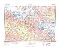
1960 Map of McCarthy
USGS Topo · Published 1967About this map
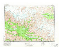
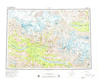
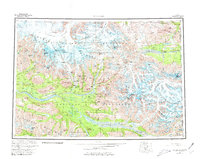
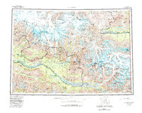
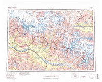
The Wrangell Mountains dominate this mid-century landscape, a massive glaciated terrain at the border of the Alaska Yukon territory. The settlement of McCarthy serves as a central point in a region shaped by industrial extraction and extreme topography. Evidence of the area's copper-mining legacy is visible through the RR line and numerous Mines scattered near the Kennicott Glacier and Root Glacier. The hydrology is defined by broad river systems like the Chitina River and Nizina River, fed by an immense network of ice including the Nabesna Glacier and Russell Glacier. Isolated outposts such as Dan Creek Camp, Chititu Camp, and Harrys indicate the sparse but persistent human presence required to work these remote mineral claims. Massive peaks including Mount Blackburn, Mount Bona, and University Peak highlight the formidable elevation changes characteristic of the Copper River drainage basin.
Find a feature on this map
95 named features on this map. Tap any name to fly to it.
Don’t see what you’re looking for? This feature index may not catch every label — zoom into the map to look around manually.
Map Details
Editions of this 1960 McCarthy Map
7 editions found
Other maps of this area

1948 · Cordova
USGS Topo · 1:250,000

1950 · Nabesna
USGS Topo · 1:250,000

1950 · McCarthy A-8
USGS Topo · 1:63,360

1950 · Bering Glacier
USGS Topo · 1:250,000

1951 · McCarthy
USGS Topo · 1:250,000

1951 · Gulkana
USGS Topo · 1:250,000

1951 · Bering Glacier
USGS Topo · 1:250,000

1951 · Nabesna
USGS Topo · 1:250,000

1951 · Cordova
USGS Topo · 1:250,000

1951 · Mt Saint Elias
USGS Topo · 1:250,000