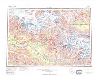
1960 Map of McCarthy
USGS Topo · Published 1994About this map
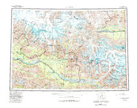
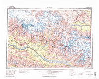
McCarthy and the surrounding copper-rich wilderness of the Wrangell - St. Elias National Park and Wilderness define this mid-century survey. The map documents the industrial legacy of the region, specifically the high-altitude mining operations such as the Erie Mine, Jumbo Mine, and Mother Lode Mine located northeast of the main settlement. These sites are positioned amidst a massive glacial system where the Kennicott Glacier and Root Glacier converge near Donoho. To the south, the Chitina River valley serves as a primary corridor, fed by tributaries like the Nizina River and Tana River. The map also captures the remote outposts of Chititu Camp and May Creek, illustrating the scattered pattern of habitation required for mineral extraction in this demanding Alaskan interior. The eastern edge transition into the White River basin at the international border with the United States Canada boundary.
Find a feature on this map
98 named features on this map. Tap any name to fly to it.
Don’t see what you’re looking for? This feature index may not catch every label — zoom into the map to look around manually.
Map Details
Editions of this 1960 McCarthy Map
7 editions found

Other maps of this area

1948 · Cordova
USGS Topo · 1:250,000

1950 · Nabesna
USGS Topo · 1:250,000

1950 · McCarthy A-8
USGS Topo · 1:63,360

1950 · Bering Glacier
USGS Topo · 1:250,000

1951 · McCarthy
USGS Topo · 1:250,000

1951 · Gulkana
USGS Topo · 1:250,000

1951 · Bering Glacier
USGS Topo · 1:250,000

1951 · Nabesna
USGS Topo · 1:250,000

1951 · Cordova
USGS Topo · 1:250,000

1951 · Mt Saint Elias
USGS Topo · 1:250,000