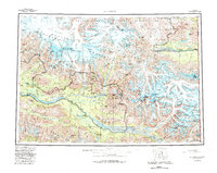
1960 Map of McCarthy
USGS Topo · Published 1982About this map
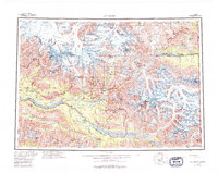
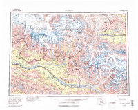
The high copper-mining era of the Wrangell Mountains is preserved in this map, focused on the drainage of the Chitina River and its major tributaries. The settlement of McCarthy serves as a central hub, surrounded by legendary lode operations like the Bonanza Mine, Jumbo Mine, Mother Lode Mine, and Erie Mine perched above the Kennicott Glacier. These industrial sites represent a massive capital investment in one of the world's most challenging environments during the mid-twentieth century.
Find a feature on this map
185 named features on this map. Tap any name to fly to it.
Don’t see what you’re looking for? This feature index may not catch every label — zoom into the map to look around manually.
Map Details
Editions of this 1960 McCarthy Map
7 editions found

Other maps of this area

1948 · Cordova
USGS Topo · 1:250,000

1950 · Nabesna
USGS Topo · 1:250,000

1950 · McCarthy A-8
USGS Topo · 1:63,360

1950 · Bering Glacier
USGS Topo · 1:250,000

1951 · McCarthy
USGS Topo · 1:250,000

1951 · Gulkana
USGS Topo · 1:250,000

1951 · Bering Glacier
USGS Topo · 1:250,000

1951 · Nabesna
USGS Topo · 1:250,000

1951 · Cordova
USGS Topo · 1:250,000

1951 · Mt Saint Elias
USGS Topo · 1:250,000