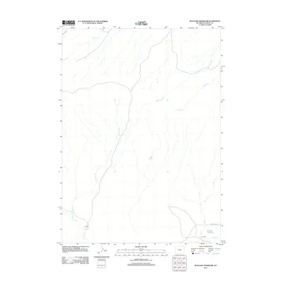
2012 Map of McCleary Reservoir
USGS Topo · Published 2012About this map
U C Ranch and C R I Ranch anchor the high plains landscape of Natrona County in this 2012 survey. The area is defined by a dendritic network of ephemeral drainage channels, including Henderson Cr, Austin Cr, and Horse Cr, which traverse the open terrain. Small-scale water management is evident at Luten Reservoir and the namesake McCleary Reservoir in the southeast corner. Transportation through this part of Wyoming relies on a handful of key routes, notably Forest Oil Rd and the significant Oregon Trail Rd, which runs east-west near the southern boundary. This map captures the persistent ranching character of the region, where family-named livestock operations and local reservoirs remain the primary landmarks across the expansive basin.
Find a feature on this map
13 named features on this map. Tap any name to fly to it.
Don’t see what you’re looking for? This feature index may not catch every label — zoom into the map to look around manually.
Map Details
Editions of this 2012 McCleary Reservoir Map
This is the sole edition of this map. No revisions or reprints were ever made.
Other maps of this area

1951 · Pine Mountain SW
USGS Topo · 1:24,000

1951 · Benton Basin SW
USGS Topo · 1:24,000

1951 · Benton Basin
USGS Topo · 1:24,000

1951 · Poison Spider
USGS Topo · 1:24,000

1951 · Benton Basin NE
USGS Topo · 1:24,000

1951 · Mc Cleary Reservoir
USGS Topo · 1:24,000

1955 · Casper
USGS Topo · 1:250,000

1958 · Casper
USGS Topo · 1:250,000

1959 · Eightmile Draw
USGS Topo · 1:24,000

1959 · Horse Creek Springs
USGS Topo · 1:24,000