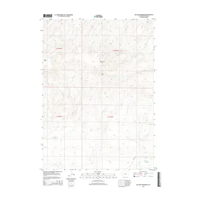
2015 Map of McCleary Reservoir
USGS Topo · Published 2015About this map
The historic Oregon Trail cuts through this landscape of Natrona County, tracing a diagonal path through the southeastern corner of the quadrangle. This 2015 survey illustrates how modern water management and cattle ranching geographic markers overlay the traditional migration corridors of the American West. The terrain is defined by named drainage systems such as Henderson Cr and Meadow Cr, punctuated by significant landmarks like Horse Heaven and the evocative Burnt Wagon Draw.
Find a feature on this map
18 named features on this map. Tap any name to fly to it.
Don’t see what you’re looking for? This feature index may not catch every label — zoom into the map to look around manually.
Map Details
Editions of this 2015 McCleary Reservoir Map
This is the sole edition of this map. No revisions or reprints were ever made.
Other maps of this area

1951 · Pine Mountain SW
USGS Topo · 1:24,000

1951 · Benton Basin SW
USGS Topo · 1:24,000

1951 · Benton Basin
USGS Topo · 1:24,000

1951 · Poison Spider
USGS Topo · 1:24,000

1951 · Benton Basin NE
USGS Topo · 1:24,000

1951 · Mc Cleary Reservoir
USGS Topo · 1:24,000

1955 · Casper
USGS Topo · 1:250,000

1958 · Casper
USGS Topo · 1:250,000

1959 · Eightmile Draw
USGS Topo · 1:24,000

1959 · Horse Creek Springs
USGS Topo · 1:24,000