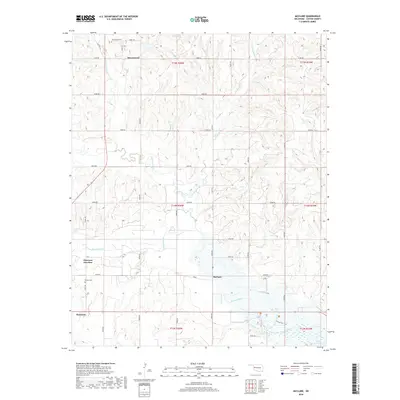
2018 Map of McClure
USGS Topo · Published 2018About this map
Washita River drainage dominates this Custer County landscape, winding eastward toward the upper reaches of Foss Reservoir in the southeast. The settlement of Hammon serves as the primary hub, situated near the intersection of various rural routes and Hammon Junction. Northward, the community of Moorewood is surrounded by a network of sectional roads and the headwaters of Quartermaster Cr and Wild Horse Cr. Genealogists will find the locations of Moorewood Cem and Bethel Cem particularly useful for tracing local family roots. The map reflects a classic Oklahoma prairie layout, where the geometric precision of the Public Land Survey System meets the natural meanders of the river. The small settlement of McClure sits centrally along the river valley, marking a point in a landscape defined by ranching roads and water access.
Find a feature on this map
38 named features on this map. Tap any name to fly to it.
Don’t see what you’re looking for? This feature index may not catch every label — zoom into the map to look around manually.
Map Details
Editions of this 2018 McClure Map
This is the sole edition of this map. No revisions or reprints were ever made.
Other maps of this area

1955 · Clinton
USGS Topo · 1:250,000

1957 · Clinton
USGS Topo · 1:250,000

1957 · Butler
USGS Topo · 1:62,500

1960 · Hammon
USGS Topo · 1:62,500

1961 · Leedey
USGS Topo · 1:62,500

1962 · Aledo
USGS Topo · 1:62,500

1976 · Butler NW
USGS Topo · 1:24,000

1976 · Butler SW
USGS Topo · 1:24,000
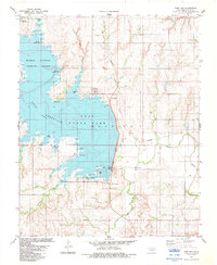
1983 · Foss Dam
USGS Topo · 1:24,000
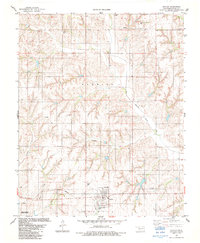
1983 · Butler
USGS Topo · 1:24,000