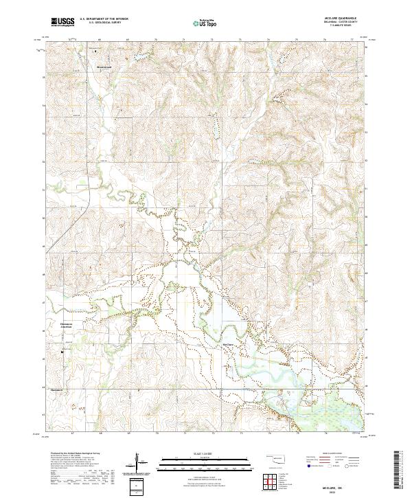
2022 Map of McClure
USGS Topo · Published 2022About this map
The Washita River meanders through this portion of Custer County, shaping a landscape of low-lying plains and dissected uplands defined by a systematic grid of section roads. The small settlements of Mcclure and Hammon Junction serve as local landmarks within this rural expanse, while the community of Hammon occupies the southwestern corner of the quadrangle. This area is characterized by its agricultural heritage and hydraulic network, including Quartermaster Cr and Wild Horse Cr, which feed into the primary river valley.
Find a feature on this map
39 named features on this map. Tap any name to fly to it.
Don’t see what you’re looking for? This feature index may not catch every label — zoom into the map to look around manually.
Map Details
Editions of this 2022 McClure Map
This is the sole edition of this map. No revisions or reprints were ever made.
Other maps of this area

1955 · Clinton
USGS Topo · 1:250,000

1957 · Clinton
USGS Topo · 1:250,000

1957 · Butler
USGS Topo · 1:62,500

1960 · Hammon
USGS Topo · 1:62,500

1961 · Leedey
USGS Topo · 1:62,500

1962 · Aledo
USGS Topo · 1:62,500

1976 · Butler NW
USGS Topo · 1:24,000

1976 · Butler SW
USGS Topo · 1:24,000
1983 · Foss Dam
USGS Topo · 1:24,000
1983 · Butler
USGS Topo · 1:24,000