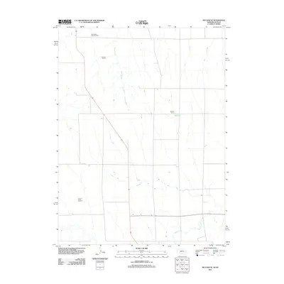
2011 Map of McCook SE
USGS Topo · Published 2011About this map
Beaver Creek and its southern tributaries define the agricultural landscape of this prairie region along the Nebraska-Kansas border. The terrain is structured by a rectilinear road grid, exemplified by Road 705, which connects remote farmsteads and rural landmarks. Local history is anchored by the Fairview Cemetery in the north and the Pleasant Prairie Cemetery further south, both serving as quiet reminders of the families who settled this high plains territory. Water management is a primary feature of the local geography, seen in the presence of Nothnagel Dam Number 1 and the Shields Reservoir along the winding course of Brushy Creek. These small-scale water projects and rural cemeteries provide essential points of reference for genealogists and researchers mapping the 21st-century evolution of Red Willow County.
Find a feature on this map
8 named features on this map. Tap any name to fly to it.
Don’t see what you’re looking for? This feature index may not catch every label — zoom into the map to look around manually.
Map Details
Editions of this 2011 McCook SE Map
This is the sole edition of this map. No revisions or reprints were ever made.
Other maps of this area

1951 · Oberlin
USGS Topo · 1:62,500

1951 · Kanona
USGS Topo · 1:62,500

1954 · McCook
USGS Topo · 1:250,000

1954 · Goodland
USGS Topo · 1:250,000

1956 · Goodland
USGS Topo · 1:250,000

1957 · McCook
USGS Topo · 1:250,000

1957 · Goodland
USGS Topo · 1:250,000

1957 · McCook SW
USGS Topo · 1:24,000

1957 · Danbury
USGS Topo · 1:24,000

1957 · McCook SE
USGS Topo · 1:24,000