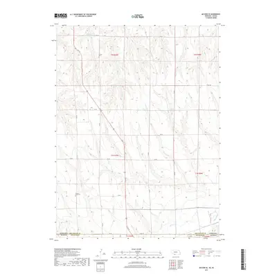
2017 Map of McCook SE
USGS Topo · Published 2017About this map
Fairview Cem and Pleasant Prairie Cem anchor the rural landscape of southern Red Willow County, marking generations of settlement along the Nebraska-Kansas border. This terrain is defined by the drainages of Brushy Cr and the larger Beaver Cr, which flows across the southern portion of the sheet near the state line. The map illustrates a disciplined grid of rural section roads, including S 6th St and Co Rd 12 N, which serve the agricultural upland between the drainage basins. Water management is a critical feature of the landscape, evidenced by the presence of Nothnagel Reservoir Number 1 and Shields Reservoir, providing necessary irrigation and livestock water for the surrounding farmsteads in this high-plains environment.
Find a feature on this map
26 named features on this map. Tap any name to fly to it.
Don’t see what you’re looking for? This feature index may not catch every label — zoom into the map to look around manually.
Map Details
Editions of this 2017 McCook SE Map
This is the sole edition of this map. No revisions or reprints were ever made.
Other maps of this area

1951 · Oberlin
USGS Topo · 1:62,500

1951 · Kanona
USGS Topo · 1:62,500

1954 · McCook
USGS Topo · 1:250,000

1954 · Goodland
USGS Topo · 1:250,000

1956 · Goodland
USGS Topo · 1:250,000

1957 · McCook
USGS Topo · 1:250,000

1957 · Goodland
USGS Topo · 1:250,000

1957 · McCook SW
USGS Topo · 1:24,000

1957 · Danbury
USGS Topo · 1:24,000

1957 · McCook SE
USGS Topo · 1:24,000