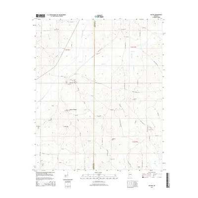
2015 Map of McCool
USGS Topo · Published 2015About this map
The Yockanookany River winds through the western half of this landscape, anchoring a rural Mississippi community defined by scattered settlements and numerous historic burial grounds. The town of McCool serves as a central hub, flanked by several dedicated cemeteries including McCool Cem and Mount Pilgrim Cem. To the south, the Ironstone Hills rise between the drainages of Hurricane Cr and Wildcat Cr, while the eastern boundary is marked by the line between Attala and Choctaw counties.
Find a feature on this map
79 named features on this map. Tap any name to fly to it.
Don’t see what you’re looking for? This feature index may not catch every label — zoom into the map to look around manually.
Map Details
Editions of this 2015 McCool Map
This is the sole edition of this map. No revisions or reprints were ever made.
Other maps of this area

1953 · West Point
USGS Topo · 1:250,000

1958 · West Point
USGS Topo · 1:250,000

1963 · West Point
USGS Topo · 1:250,000

1966 · Weir
USGS Topo · 1:24,000

1966 · French Camp
USGS Topo · 1:24,000

1968 · Weir
USGS Topo · 1:62,500

1972 · McCool
USGS Topo · 1:24,000

1972 · Highpoint
USGS Topo · 1:24,000
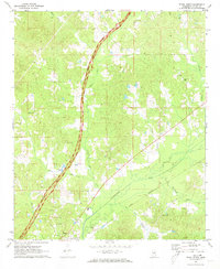
1972 · Ethel North
USGS Topo · 1:24,000
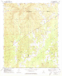
1972 · Ethel SE
USGS Topo · 1:24,000