
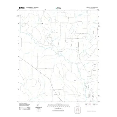
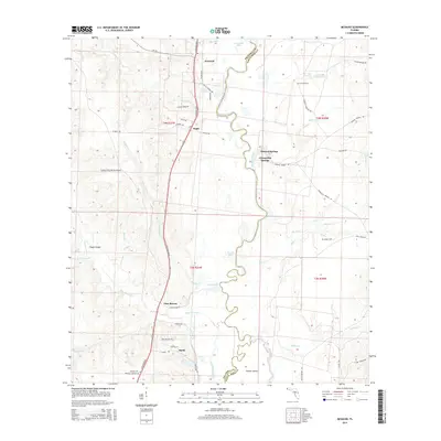
2024 Map of McDavid
USGS Topo · Published 2024About this map
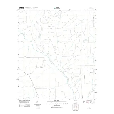
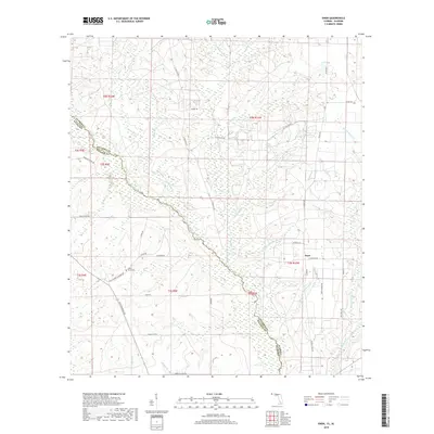
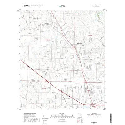
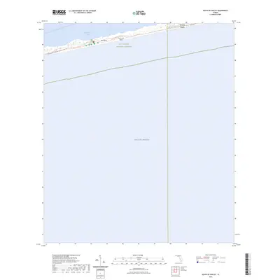
The Escambia River defines the winding boundary between Escambia and Santa Rosa counties, creating a landscape of river-fed basins and lowlands like Brown Lake and Cotton Lake. This 2024 survey depicts a rural corridor where transport and small-scale industry follow the high ground between the river and its western tributaries. Settlements such as McDavid, Bogia, and Barth align with S Century Blvd, reflecting the area's long-standing reliance on the north-south road and rail axis. Numerous family-named landmarks and historical sites are preserved here, including Coon Hill Cem and Rays Chapel Baptist Church Cem. The presence of the Collier/Pine Barren Airpark near Pine Barren highlights a modern utility set against a backdrop of traditional landmarks like Chumuckla Springs and several historic cemeteries.
Find a feature on this map
73 named features on this map. Tap any name to fly to it.
Don’t see what you’re looking for? This feature index may not catch every label — zoom into the map to look around manually.
Map Details
Editions of this 2024 McDavid Map
This is the sole edition of this map. No revisions or reprints were ever made.
Historical Maps of McDavid Through Time
77 maps found

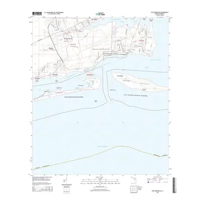
1941 Fort Barrancas
Escambia County, FL

1941 Muscogee
Escambia County, FL

1943 Fort Barrancas
Escambia County, FL

1943 Muscogee
Escambia County, FL

1944 Fort Barrancas
Escambia County, FL

1944 Perdido Bay North
Escambia County, FL

1944 Perdido Bay South
Escambia County, FL

1970 Fort Barrancas
Escambia County, FL

1970 Perdido Bay
Escambia County, FL

1970 South of Holley
Escambia County, FL

1978 Barrineau Park
Escambia County, FL

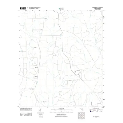
1978 Bay Springs
Escambia County, FL

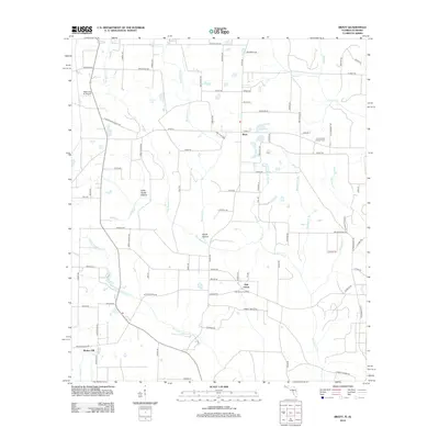
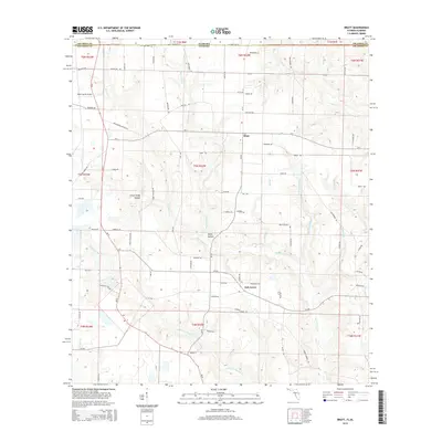
1978 Bratt
Escambia County, FL

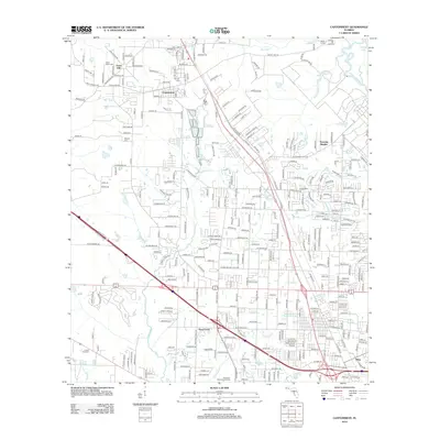
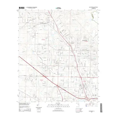
1978 Cantonment
Escambia County, FL

1978 Enon
Escambia County, FL

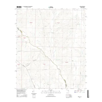
1978 McDavid
Escambia County, FL

1978 Walnut Hill
Escambia County, FL

1994 Barrineau Park
Escambia County, FL

1994 Bay Springs
Escambia County, FL

1994 Cantonment
Escambia County, FL

1994 Enon
Escambia County, FL

1994 Fort Barrancas
Escambia County, FL

1994 McDavid
Escambia County, FL

1994 Perdido Bay
Escambia County, FL
2012 Barrineau Park
Escambia County, FL
2012 Bay Springs
Escambia County, FL
2012 Bratt
Escambia County, FL
2012 Cantonment
Escambia County, FL
2012 Enon
Escambia County, FL
2012 Fort Barrancas
Escambia County, FL
2012 McDavid
Escambia County, FL
2012 Perdido Bay
Escambia County, FL
2012 South of Holley
Escambia County, FL
2012 Walnut Hill
Escambia County, FL
2015 Barrineau Park
Escambia County, FL
2015 Bay Springs
Escambia County, FL
2015 Bratt
Escambia County, FL
2015 Cantonment
Escambia County, FL
2015 Enon
Escambia County, FL
2015 Fort Barrancas
Escambia County, FL
2015 McDavid
Escambia County, FL
2015 Perdido Bay
Escambia County, FL
2015 South of Holley
Escambia County, FL
2015 Walnut Hill
Escambia County, FL
2018 Barrineau Park
Escambia County, FL
2018 Bay Springs
Escambia County, FL
2018 Bratt
Escambia County, FL
2018 Cantonment
Escambia County, FL
2018 Enon
Escambia County, FL
2018 Fort Barrancas
Escambia County, FL
2018 McDavid
Escambia County, FL

2018 Perdido Bay
Escambia County, FL
2018 South of Holley
Escambia County, FL
2018 Walnut Hill
Escambia County, FL
2021 Barrineau Park
Escambia County, FL
2021 Bay Springs
Escambia County, FL
2021 Bratt
Escambia County, FL
2021 Cantonment
Escambia County, FL
2021 Enon
Escambia County, FL

2021 Fort Barrancas
Escambia County, FL
2021 McDavid
Escambia County, FL
2021 Perdido Bay
Escambia County, FL
2021 South of Holley
Escambia County, FL
2021 Walnut Hill
Escambia County, FL

2024 Barrineau Park
Escambia County, FL

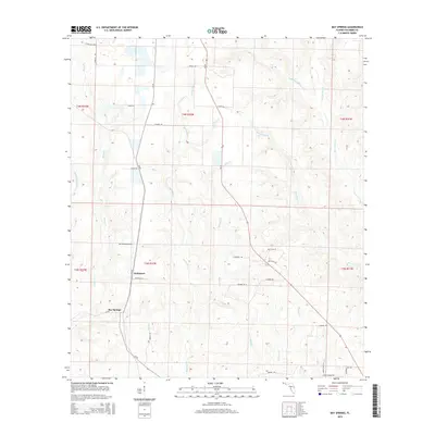
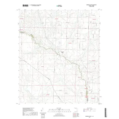
2024 Bay Springs
Escambia County, FL

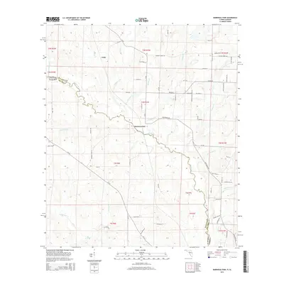
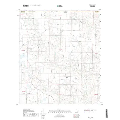
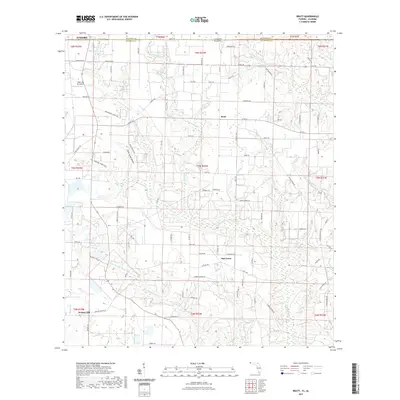
2024 Bratt
Escambia County, FL

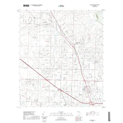
2024 Cantonment
Escambia County, FL

2024 Enon
Escambia County, FL
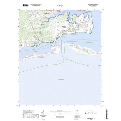
2024 Fort Barrancas
Escambia County, FL
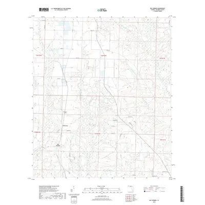
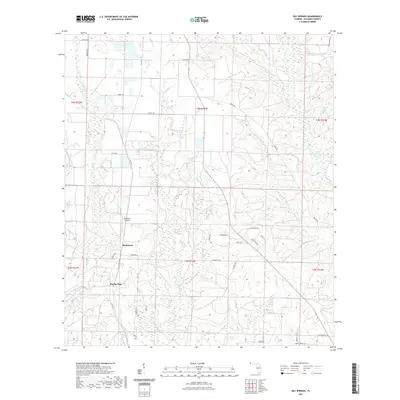
2024 McDavid
Escambia County, FL
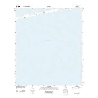
2024 Perdido Bay
Escambia County, FL
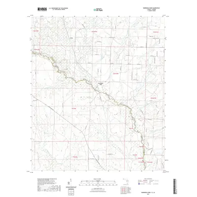
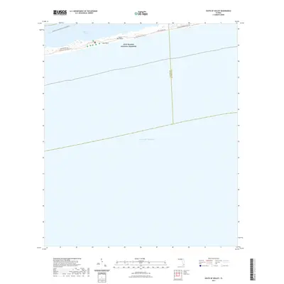
2024 South of Holley
Escambia County, FL

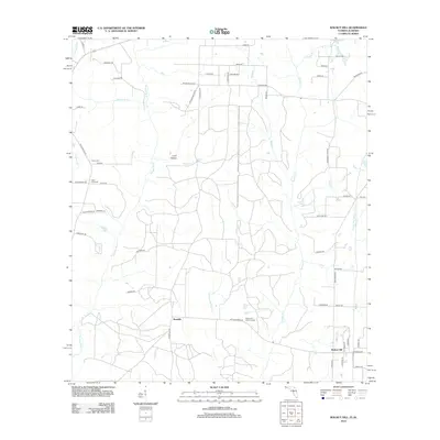
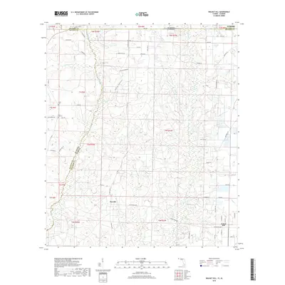
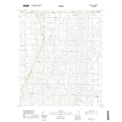
2024 Walnut Hill
Escambia County, FL

2025 Fort Barrancas
Escambia County, FL

2025 Perdido Bay
Escambia County, FL

2025 South of Holley
Escambia County, FL