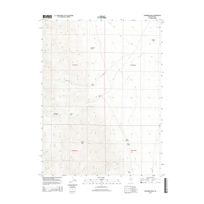
2014 Map of McDermid Ranch
USGS Topo · Published 2014About this map
McDermid Ranch sits at the base of the high elevations where the Cherry Creek Range meets the expansive Steptoe Valley. This 2014 survey documents a classic high-desert water network, where numerous springs such as Mountain Lion Spring, Big Spring, and the curiously named Julians Hole provide the lifeblood for ranching operations in a landscape defined by sharp elevation changes. The drainage of McDermid Cr and the presence of Currie Ponds further illustrate the importance of water management in this part of Elko County.
Find a feature on this map
25 named features on this map. Tap any name to fly to it.
Don’t see what you’re looking for? This feature index may not catch every label — zoom into the map to look around manually.
Map Details
Editions of this 2014 McDermid Ranch Map
This is the sole edition of this map. No revisions or reprints were ever made.
Other maps of this area

1955 · Elko
USGS Topo · 1:250,000

1958 · Elko
USGS Topo · 1:250,000

1962 · Elko
USGS Topo · 1:250,000

1965 · Elko
USGS Topo · 1:250,000

1982 · Currie
USGS Topo · 1:24,000
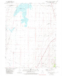
1982 · Goshute Lake South
USGS Topo · 1:24,000
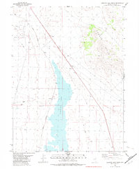
1982 · Goshute Lake North
USGS Topo · 1:24,000

1984 · Currie Gardens
USGS Topo · 1:24,000
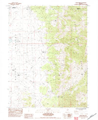
1984 · Paris Creek
USGS Topo · 1:24,000
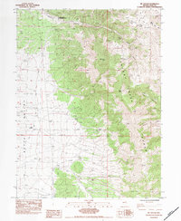
1984 · Mt. Taylor
USGS Topo · 1:24,000