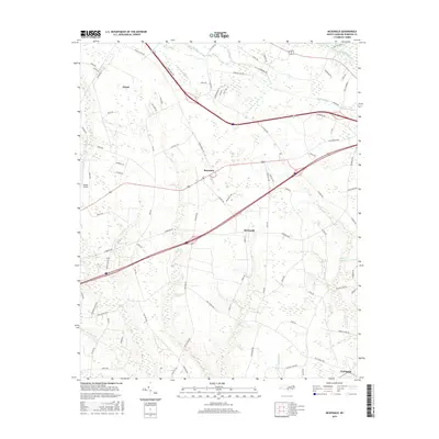
2016 Map of McDonald
USGS Topo · Published 2016About this map
Low-lying swamplands and agricultural networks define this corner of Robeson County, where the Lumber River skirts the northeastern corner. The settlement of McDonald sits at a crossroads in the center of the sheet, surrounded by an intricate system of watercourses including Back Swamp, Aaron Swamp, and Ashpole Swamp. These wetlands dictate the layout of the local road system, with many routes like Iona Church Rd and Marion Stage Rd tracing the higher ground between basins.
Find a feature on this map
83 named features on this map. Tap any name to fly to it.
Don’t see what you’re looking for? This feature index may not catch every label — zoom into the map to look around manually.
Map Details
Editions of this 2016 McDonald Map
This is the sole edition of this map. No revisions or reprints were ever made.
Other maps of this area

1943 · Pages Mill
USGS Topo · 1:62,500

1953 · Florence
USGS Topo · 1:250,000

1954 · Florence
USGS Topo · 1:250,000

1960 · Dillon East
USGS Topo · 1:24,000

1962 · Fairmont
USGS Topo · 1:24,000

1962 · Gaddysville
USGS Topo · 1:24,000

1962 · Fair Bluff
USGS Topo · 1:62,500

1972 · Northwest Lumberton
USGS Topo · 1:24,000

1972 · Southwest Lumberton
USGS Topo · 1:24,000

1972 · Pembroke
USGS Topo · 1:24,000