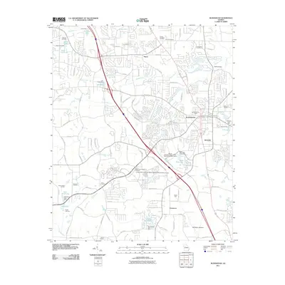
2011 Map of McDonough
USGS Topo · Published 2011About this map
McDonough serves as the central hub of this Georgia landscape, surrounded by several smaller settlements including Flippen, Blacksville, and Greenwood. The region is defined by a complex network of waterways, including the winding Walnut Creek and Camp Creek, punctuated by numerous small reservoirs such as Weems Lake and Painted Turtle Lake. This 2011 survey reveals an area undergoing significant suburban development, with residential streets like Harold Dr and Orchard Park Dr expanding into the countryside. For genealogists and local historians, the map is a primary source for locating family-named landmarks and burial grounds, such as the Hudson-Pair-Steele Cemetery and Akins Cemetery. Educational and civic growth is evident through the presence of the Mercer University Henry County Regional Academic Center and the Georgia State University J Mack College of Business Henry County.
Find a feature on this map
87 named features on this map. Tap any name to fly to it.
Don’t see what you’re looking for? This feature index may not catch every label — zoom into the map to look around manually.
Map Details
Editions of this 2011 McDonough Map
This is the sole edition of this map. No revisions or reprints were ever made.
Other maps of this area

1888 · Atlanta
USGS Topo · 1:125,000

1890 · Atlanta
USGS Topo · 1:125,000

1892 · Atlanta
USGS Topo · 1:125,000

1895 · Atlanta
USGS Topo · 1:125,000

1953 · Atlanta
USGS Topo · 1:250,000

1954 · Jonesboro
USGS Topo · 1:24,000

1957 · Atlanta
USGS Topo · 1:250,000

1958 · Atlanta
USGS Topo · 1:250,000

1964 · Luella
USGS Topo · 1:24,000
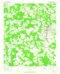
1964 · Mc Donough
USGS Topo · 1:24,000