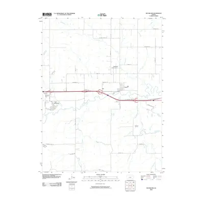
2009 Map of McFarland
USGS Topo · Published 2009About this map
McFarland and Paxico anchor this part of Wabaunsee County along the winding course of Mill Creek, where the local landscape transition is visible in the grid of farm roads and deep creek drainages. The settlement of Newbury sits further north, connected by a network of named rural routes like Newbury Rd and Cemetery Rd. The importance of water management and local heritage is evident through the McFarland Detention Dam and resting places such as McFarland Cemetery and Bethlehem Cemetery. To the southwest, the terrain becomes more distinct near Clapboard Canyon, while several tributaries including Kuenzli Creek and Snokomo Creek define the drainage patterns of the Flint Hills region. The road names, from Hudson Ranch Rd to Boothill Rd, reflect the ranching and agricultural identity of the area in the early 21st century.
Find a feature on this map
42 named features on this map. Tap any name to fly to it.
Don’t see what you’re looking for? This feature index may not catch every label — zoom into the map to look around manually.
Map Details
Editions of this 2009 McFarland Map
This is the sole edition of this map. No revisions or reprints were ever made.
Other maps of this area

1885 · Eskridge
USGS Topo · 1:125,000

1889 · Wamego
USGS Topo · 1:125,000

1889 · Eskridge
USGS Topo · 1:125,000

1894 · Eskridge
USGS Topo · 1:125,000

1894 · Wamego
USGS Topo · 1:125,000

1953 · Wamego
USGS Topo · 1:24,000

1953 · Maple Hill
USGS Topo · 1:24,000

1953 · Belvue
USGS Topo · 1:24,000

1953 · St Marys
USGS Topo · 1:24,000

1954 · Alma
USGS Topo · 1:24,000