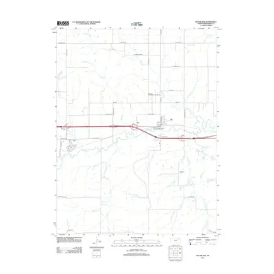
2012 Map of McFarland
USGS Topo · Published 2012About this map
McFarland and Newbury anchor this rural landscape in Wabaunsee County, where the topography is defined by the branching tributaries of Mill Cr. The town of McFarland is laid out with a traditional grid including Main St and 1st Ave, situated just north of the winding Mill Cr corridor. To the east, the Mill Creek Campground and Recreational Vehicle Park sits near the junction of major modern transport routes and the riparian woodlands.
Find a feature on this map
41 named features on this map. Tap any name to fly to it.
Don’t see what you’re looking for? This feature index may not catch every label — zoom into the map to look around manually.
Map Details
Editions of this 2012 McFarland Map
This is the sole edition of this map. No revisions or reprints were ever made.
Other maps of this area

1885 · Eskridge
USGS Topo · 1:125,000

1889 · Wamego
USGS Topo · 1:125,000

1889 · Eskridge
USGS Topo · 1:125,000

1894 · Eskridge
USGS Topo · 1:125,000

1894 · Wamego
USGS Topo · 1:125,000

1953 · Wamego
USGS Topo · 1:24,000

1953 · Maple Hill
USGS Topo · 1:24,000

1953 · Belvue
USGS Topo · 1:24,000

1953 · St Marys
USGS Topo · 1:24,000

1954 · Alma
USGS Topo · 1:24,000