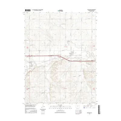
2015 Map of McFarland
USGS Topo · Published 2015About this map
Mill Creek meanders through the heart of this landscape, anchoring the settlements of McFarland and Paxico as they appeared in the mid-2010s. The region is characterized by a dense network of country roads named for the early families and topography of Wabaunsee County, including Hudson Ranch Rd and the evocative Strowigs Mill Rd. These routes connect the primary town centers with smaller locales such as Newbury, reflecting a resilient agricultural and transport corridor along the interstate.
Find a feature on this map
60 named features on this map. Tap any name to fly to it.
Don’t see what you’re looking for? This feature index may not catch every label — zoom into the map to look around manually.
Map Details
Editions of this 2015 McFarland Map
This is the sole edition of this map. No revisions or reprints were ever made.
Other maps of this area

1885 · Eskridge
USGS Topo · 1:125,000

1889 · Wamego
USGS Topo · 1:125,000

1889 · Eskridge
USGS Topo · 1:125,000

1894 · Eskridge
USGS Topo · 1:125,000

1894 · Wamego
USGS Topo · 1:125,000

1953 · Wamego
USGS Topo · 1:24,000

1953 · Maple Hill
USGS Topo · 1:24,000

1953 · Belvue
USGS Topo · 1:24,000

1953 · St Marys
USGS Topo · 1:24,000

1954 · Alma
USGS Topo · 1:24,000