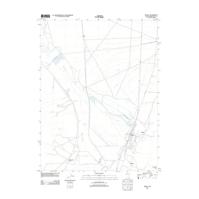
2012 Map of McGill
USGS Topo · Published 2012About this map
McGill stands as the primary population center in this portion of White Pine County, clustered around the McGill Post Office along the base of the mountains. The landscape is defined by the drainage of Duck Creek as it flows toward Bassett Lake and the broader valley floor. Rural life is evidenced by small settlements and cattle operations like Romeo Ranch and Steptoe, connected by a network of local thoroughfares such as Pole Line Rd and Bassett Lake Rd.
Find a feature on this map
23 named features on this map. Tap any name to fly to it.
Don’t see what you’re looking for? This feature index may not catch every label — zoom into the map to look around manually.
Map Details
Editions of this 2012 McGill Map
This is the sole edition of this map. No revisions or reprints were ever made.
Other maps of this area

1952 · Ely
USGS Topo · 1:125,000

1956 · Ely
USGS Topo · 1:250,000

1958 · McGill
USGS Topo · 1:24,000

1958 · Ruth
USGS Topo · 1:24,000

1958 · East Ely
USGS Topo · 1:24,000

1958 · McGill
USGS Topo · 1:62,500

1959 · Ely
USGS Topo · 1:250,000

1959 · Schell Peaks
USGS Topo · 1:62,500

1963 · Ely
USGS Topo · 1:250,000

1981 · Duck Creek Valley
USGS Topo · 1:24,000